


10,3 km | 13,8 km-effort

Usuario


Aplicación GPS de excursión GRATIS
 SityTrail
IGN / Institutos geográficos
SityTrail World
El mundo es suyo
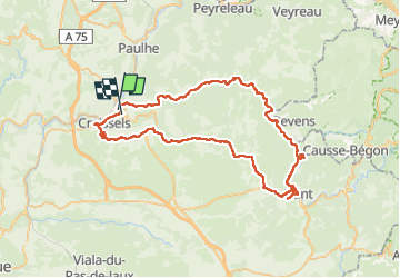
Ruta Bici eléctrica de 72 km a descubrir en Occitania, Aveyron, Millau. Esta ruta ha sido propuesta por apa.
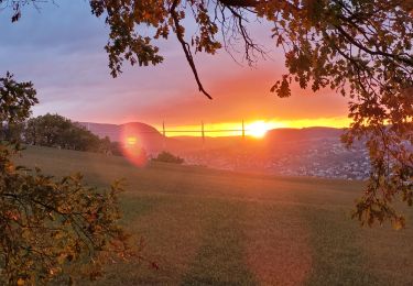
Millau gorges de la Dourbie Cantobre Nant plateau du Larzac
Brunas Greissel Millau 71km
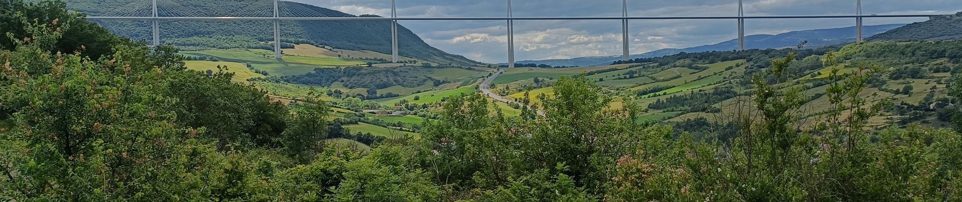
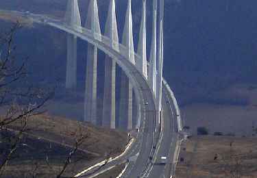
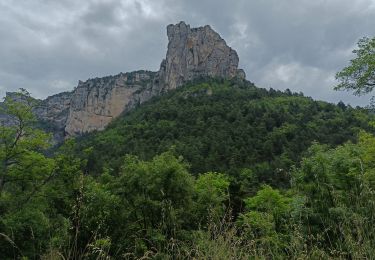
magnifique panorama


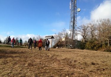
Senderismo
Senderismo

Senderismo
Senderismo
Bici eléctrica
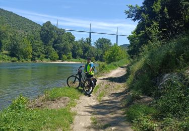
Bici eléctrica
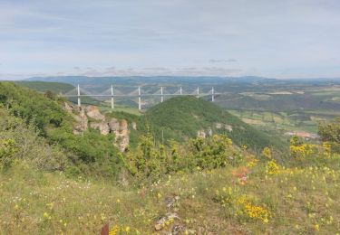
Senderismo
Senderismo
Senderismo