


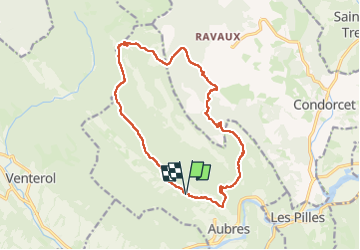

17,2 km | 29 km-effort

Usuario


Aplicación GPS de excursión GRATIS
 SityTrail
IGN / Institutos geográficos
SityTrail World
El mundo es suyo
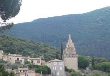
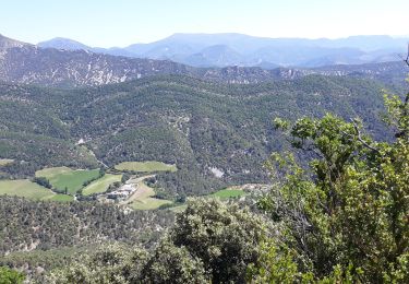
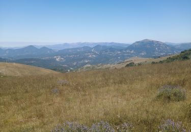
Ruta Senderismo de 16,3 km a descubrir en Auvergne-Rhône-Alpes, Drôme, Aubres. Esta ruta ha sido propuesta por Vero7684.
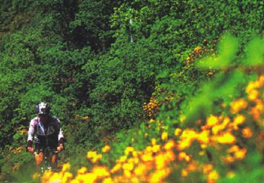
attention vers le km 5 bifurquer tout de suite à gauche (branche au sol pour aller tout droit)


Senderismo
Senderismo
Senderismo
Bici de montaña
Senderismo
Senderismo
Senderismo
Senderismo

Bici de carretera