


8,1 km | 8,9 km-effort


Usuario GUIDE


Aplicación GPS de excursión GRATIS
 SityTrail
IGN / Institutos geográficos
SityTrail World
El mundo es suyo
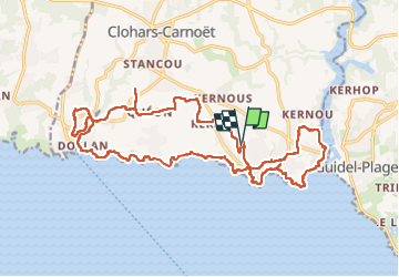
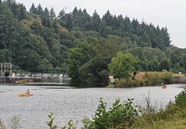
Ruta Senderismo de 24 km a descubrir en Bretaña, Finisterre, Clohars-Carnoët. Esta ruta ha sido propuesta por chessyca.
Départ du camping du kérou et boucle sur le 34
Attention dans la partie terre, de nombreux passages en propriété privée nécessitent un accord des propriétaires.
Les cartes ffr sont à mettre à jour
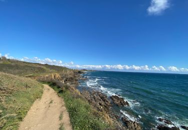
Senderismo
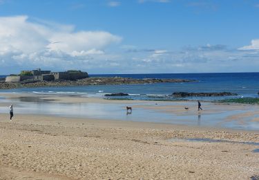
Senderismo
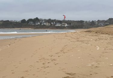
Senderismo
Senderismo
Senderismo
Senderismo
Bici eléctrica
Senderismo