


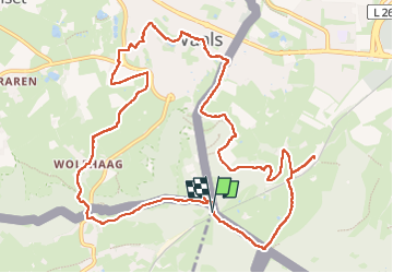

9,6 km | 12,1 km-effort

Usuario GUIDE


Aplicación GPS de excursión GRATIS
 SityTrail
IGN / Institutos geográficos
SityTrail World
El mundo es suyo
Ruta Senderismo de 12,4 km a descubrir en Valonia, Lieja, Kelmis. Esta ruta ha sido propuesta por mumu.larandonneuse.
🇧🇪 🇳🇱 🇩🇪 Une balade transfrontalière passant par le Bois de Preus, le hameau de Wolfhaag, la belle ville de Vaals et le retour par les bois côté allemand.
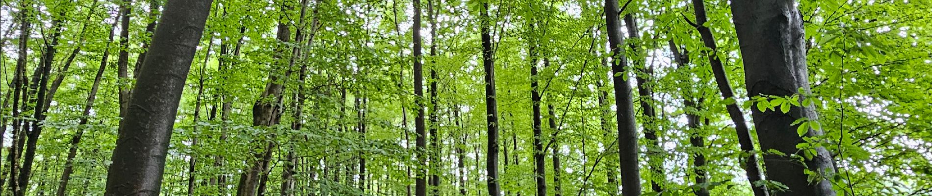
👣 Bois, chemins, prairies, ville (Vaals)


Senderismo

Senderismo

Senderismo

Senderismo

Senderismo

Senderismo

Senderismo

Senderismo

Senderismo