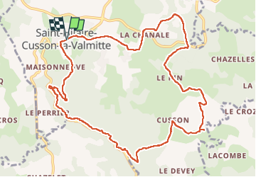


14,4 km | 19,2 km-effort

Usuario GUIDE


Aplicación GPS de excursión GRATIS
 SityTrail
IGN / Institutos geográficos
SityTrail World
El mundo es suyo
Ruta Senderismo de 12,9 km a descubrir en Auvergne-Rhône-Alpes, Loira, Saint-Hilaire-Cusson-la-Valmitte. Esta ruta ha sido propuesta por dudu42.
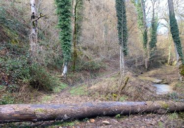
La partie longeant le torrent (beaucoup d'eau grâce aux pluies nombreuses) est superbe !
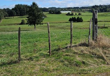
Sous bois de feuillus, chemin de terre, très peu de bitume.
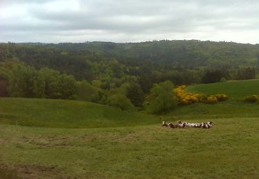
Point de vue depuis le plateau.
Peu de monde.


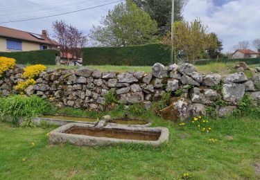
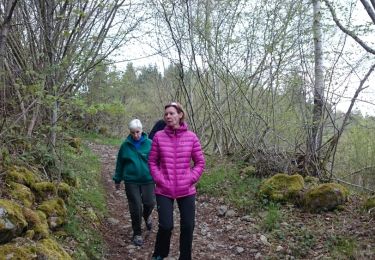
32 fotos en total. Haga clic en una foto para mostrarlas todas en la galería.
Senderismo

Bici de montaña
Senderismo
Senderismo
Senderismo
Senderismo
Senderismo
Senderismo