


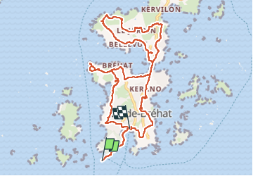


11,9 km | 13,8 km-effort

Usuario


Aplicación GPS de excursión GRATIS
 SityTrail
IGN / Institutos geográficos
SityTrail World
El mundo es suyo
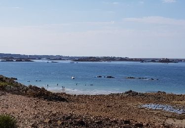
Ruta Senderismo de 11,9 km a descubrir en Bretaña, Côtes-d'Armor, Île-de-Bréhat. Esta ruta ha sido propuesta por v.rabot.
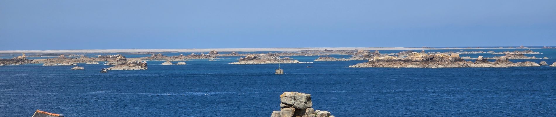
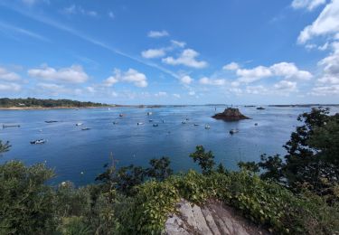
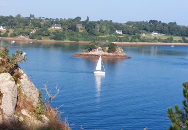
Arrivé à marée basse, nous avons eu la chance d'avoir beau temps et de pouvoir sur tout le parcours contempler de magnifiques paysages. Randonnée sans difficulté, à noter la présence de nombreux WC sur le parcours.


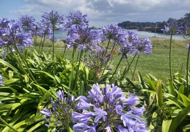
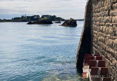
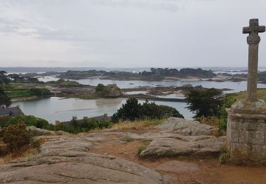
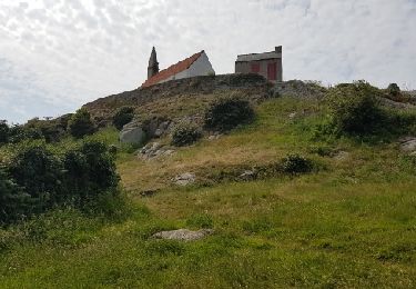
28 fotos en total. Haga clic en una foto para mostrarlas todas en la galería.

Senderismo
Senderismo

Senderismo
Senderismo
Senderismo
Senderismo
Senderismo
Senderismo
Senderismo