


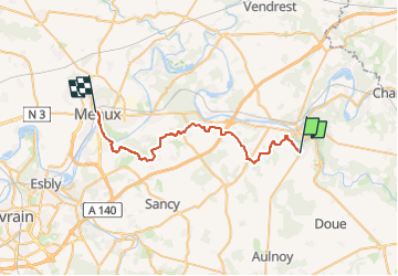

15,4 km | 18,4 km-effort


Usuario GUIDE


Aplicación GPS de excursión GRATIS
 SityTrail
IGN / Institutos geográficos
SityTrail World
El mundo es suyo
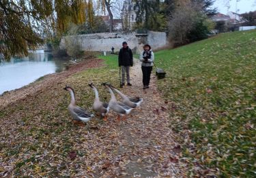
Ruta A pie de 32 km a descubrir en Isla de Francia, Sena y Marne, Jouarre. Esta ruta ha sido propuesta por chessyca.
Préparation de l'étape 3
- Jouarre et Abbaye Notre-Dame, les joyaux mérovingiens de sa crypte, son musée local, (déja visité sur l'étape 2 )
- Ussy sur Marne et son église St Authaire (le père d'Adon et St Ouen qui accueillit St Colomban durant l'hiver 610) qui abrite un vitrail montrant Colomban en train de bénir les enfants d'Authaire.
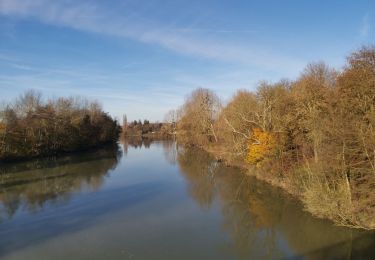
- Aqueduc de la Dhuys
- Le banc de Napoléon avec la vue sur la Vallée de la Marne ;
- Le château de Venteuil
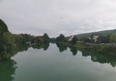
- la Cité Épiscopale à Meaux /cathédrale/maison du Brie

Senderismo
Senderismo
Senderismo
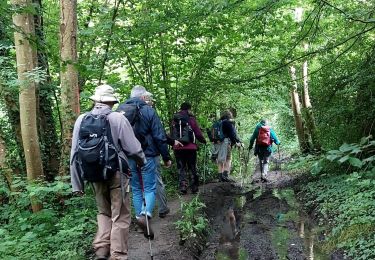
Senderismo
Senderismo
Senderismo
Senderismo
Senderismo
Senderismo