


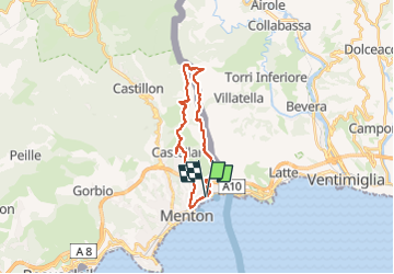

8,1 km | 14,4 km-effort


Usuario GUIDE


Aplicación GPS de excursión GRATIS
 SityTrail
IGN / Institutos geográficos
SityTrail World
El mundo es suyo
Ruta Senderismo de 22 km a descubrir en Provenza-Alpes-Costa Azul, Alpes Marítimos, Menton. Esta ruta ha sido propuesta por jouans.
Menton Garavan Gare Col du Berceau Grammondo Col St Bernard Menton
Randonnée à faire en partant en train

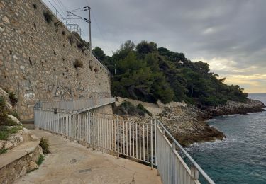
Senderismo

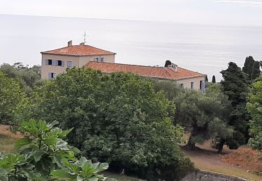
Senderismo

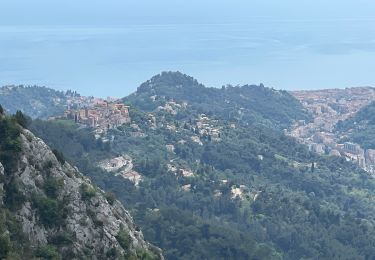
Senderismo

Senderismo

Senderismo

Senderismo
Senderismo
Senderismo
Senderismo