


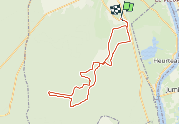

13,7 km | 14,9 km-effort


Usuario


Aplicación GPS de excursión GRATIS
 SityTrail
IGN / Institutos geográficos
SityTrail World
El mundo es suyo
Ruta Paseo ecuestre de 16,8 km a descubrir en Normandía, Sena-Marítimo, Arelaune-en-Seine. Esta ruta ha sido propuesta por coco la patate.
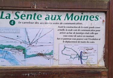
Circuit découverte de la forêt au départ du gîte .
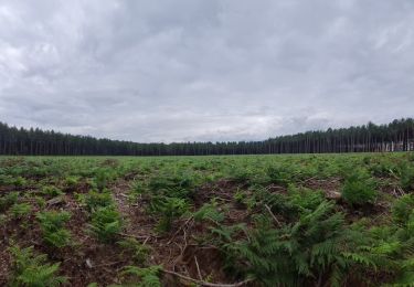
chemin, voie forestière principalement , un peu de macadam, praticable également en vtt.
Pas de difficultés majeures.

Senderismo
Senderismo

Senderismo

Senderismo

Senderismo
Senderismo
Senderismo
Senderismo

Caballo