


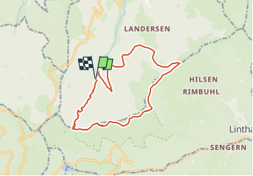

14 km | 19,8 km-effort


Usuario


Aplicación GPS de excursión GRATIS
 SityTrail
IGN / Institutos geográficos
SityTrail World
El mundo es suyo
Ruta Senderismo de 14,3 km a descubrir en Gran Este, Alto Rin, Sondernach. Esta ruta ha sido propuesta por vaillantjm.
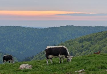
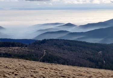
Belle montée jusqu'au col d'Oberlauchen. Quelques belles échappées sur les vallées environnantes et les Alpes Bernoises, si le temps s'y prête.

Senderismo

Senderismo

Senderismo

Senderismo
Senderismo
Senderismo

Senderismo

A pie
Senderismo