


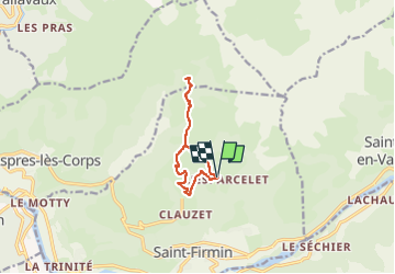

10,6 km | 24 km-effort


Usuario


Aplicación GPS de excursión GRATIS
 SityTrail
IGN / Institutos geográficos
SityTrail World
El mundo es suyo
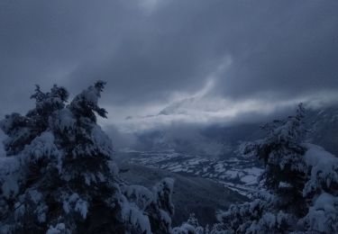
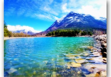
Ruta Senderismo de 8,9 km a descubrir en Provenza-Alpes-Costa Azul, Altos Alpes, Saint-Firmin. Esta ruta ha sido propuesta por Luc Saint-guillain.
On peut aussi partir du col de l'Esparcelet : ça devient très cool !
Senderismo
Senderismo
Esquí de fondo
Esquí de fondo

Senderismo

Senderismo

Senderismo

Senderismo
Senderismo