


11,4 km | 24 km-effort


Usuario


Aplicación GPS de excursión GRATIS
 SityTrail
IGN / Institutos geográficos
SityTrail World
El mundo es suyo
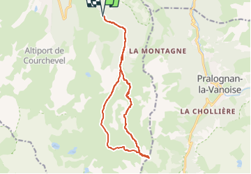
Ruta Esquí alpino de 17,3 km a descubrir en Auvergne-Rhône-Alpes, Saboya, Courchevel. Esta ruta ha sido propuesta por loicthev.
ski de rando
Petit Mont Blanc depuis Courchevel 1650
Alexandre Guillaume Loïc
27/04/2024

Senderismo

Senderismo

Senderismo

Senderismo

Senderismo
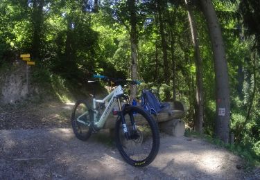
Bici de montaña
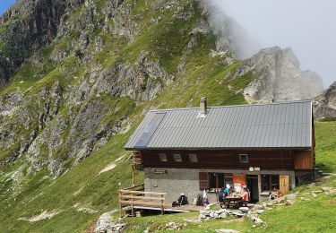
Senderismo

Senderismo
Senderismo