


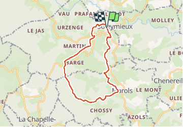


15,4 km | 22 km-effort

Usuario GUIDE


Aplicación GPS de excursión GRATIS
 SityTrail
IGN / Institutos geográficos
SityTrail World
El mundo es suyo
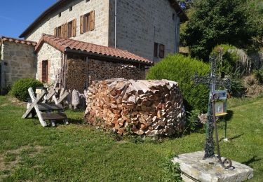
Ruta Senderismo de 13,7 km a descubrir en Auvergne-Rhône-Alpes, Loira, Soleymieux. Esta ruta ha sido propuesta por dudu42.
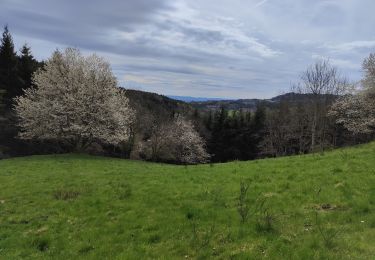
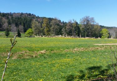
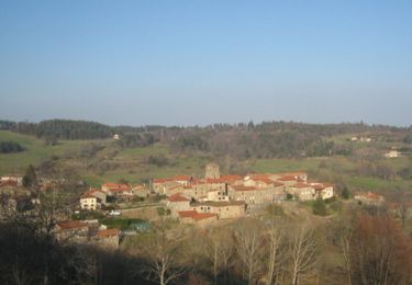
Très beaux panoramas sur le parcours.
Sous bois superbes avec le chant des oiseaux.
Une bonne partie du dénivelé positif est au début du parcours.
Un peu de bitume vers la fin mais presque pas de circulation.


34 fotos en total. Haga clic en una foto para mostrarlas todas en la galería.
Senderismo
Senderismo
Senderismo
Bici de montaña
Senderismo

Senderismo
Senderismo
Senderismo
Senderismo