


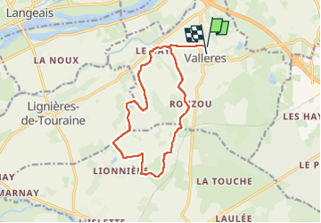

4,9 km | 5,7 km-effort


Usuario


Aplicación GPS de excursión GRATIS
 SityTrail
IGN / Institutos geográficos
SityTrail World
El mundo es suyo
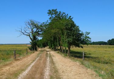
Ruta Paseo ecuestre de 14,1 km a descubrir en Centro, Indre y Loira, Vallères. Esta ruta ha sido propuesta por roi.
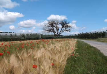
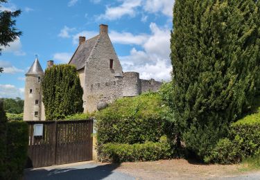
Faite avec amandine et Albane. Bcp bcp de pas. Des chemins sympas que je ne connaissais pas. Et plein d’autre autour à faire. À refaire !!

Senderismo
Senderismo
Senderismo
Senderismo

Senderismo

Senderismo
Senderismo
Senderismo
Senderismo