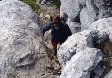
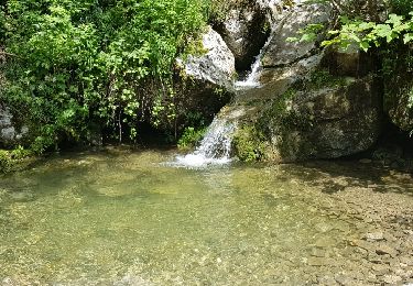
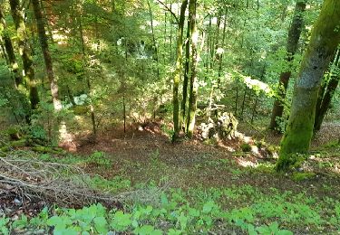
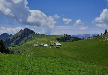
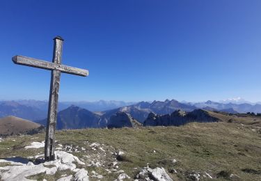
Excursión Senderismo Fillière - visorando-tete-noire-tete-ronde-et-tete-de-l-arpettaz - Photo

visorando-tete-noire-tete-ronde-et-tete-de-l-arpettaz

 sandra_leb
sandra_leb

Usuario

© OpenStreetMap contributors
Longitud
Longitud
11,3 km
Altitud máxima
Altitud máxima
1829 m
Desnivel positivo
Desnivel positivo
591 m
Km-Effort
Km-Effort  
19,2 km
Altitud mínima
Altitud mínima
1279 m
Desnivel negativo
Desnivel negativo
592 m
Boucle
Boucle
Fecha de creación :
2024-04-09 12:43:44.963
Última modificación :
2024-04-09 12:45:02.236

(0 Opinión)

Senderismo
Senderismo
4h22
Dificultad : Muy difícil

Escanee este código QR para abrir la excursión en la aplicación SityTrail

Aplicación GPS de excursión GRATIS

Logo SityTrail SityTrail

IGN / Institutos geográficos

Descargar SityTrail en App Store Descargar SityTrail en Google Play

Logo SityTrail SityTrail World

El mundo es suyo

Descargar SityTrail en App Store Descargar SityTrail en Google Play Descargar SityTrail en Huawei AppGallery

A propósito

Ruta Senderismo de 11,3 km a descubrir en Auvergne-Rhône-Alpes, Alta Saboya, Fillière. Esta ruta ha sido propuesta por sandra_leb.

Perfil altimétrico

Puntos de interés

Punto de interés Fillière - Parking de Dran - Photo
sandra_leb
FILLIÈRE 
Punto de interés La Balme-de-Thuy - Bifurcation après la - Photo
sandra_leb
LA BALME-DE-THUY 
Punto de interés Dingy-Saint-Clair - Tête Noire - Photo
sandra_leb
DINGY-SAINT-CLAIR 
Punto de interés La Balme-de-Thuy - Tête Ronde - Photo
sandra_leb
LA BALME-DE-THUY 
Punto de interés Dingy-Saint-Clair - Carrefour de la  - Photo
sandra_leb
DINGY-SAINT-CLAIR 
Punto de interés Dingy-Saint-Clair - Vallon d'Ablon - Photo
sandra_leb
DINGY-SAINT-CLAIR 
Punto de interés Dingy-Saint-Clair - Chalet d'Ablon - Photo
sandra_leb
DINGY-SAINT-CLAIR 
Punto de interés Dingy-Saint-Clair - Carrefour des 2 traces - Photo
sandra_leb
DINGY-SAINT-CLAIR 
Punto de interés Fillière - Parking de Dran - Photo
sandra_leb
FILLIÈRE 

Localización

País:
France
Región :
Auvergne-Rhône-Alpes
Departamento/provincia :
Alta Saboya
Municipio :
Fillière
Localidad:
Thorens-Glières
Salida:(Dec)
Salida:(UTM)
291827 ; 5091854 (32T) N.

Excursiones cerca

Excursión Senderismo Fillière - tête de l'Apertaz, tête ronde et tête noire - Photo
Senderismo
GUIDE
nadd73

Senderismo

Medio
Fillière, Auvergne-Rhône-Alpes, Alta Saboya, France
12,6 km | 21 km-effort
5h 55min
Excursión Senderismo Fillière - GLIERES: MONUMENT - CHALETS DES AUGES - GAUTARD - Photo
Senderismo
djeepee74

Senderismo

Fácil
(1)
Fillière, Auvergne-Rhône-Alpes, Alta Saboya, France
8,8 km | 14,5 km-effort
3h 0min
No
Excursión Senderismo Thônes - Tour Montagne des Auges par Tetaz et Buffaz - Photo
Senderismo
GUIDE
Kargil

Senderismo

Medio
Thônes, Auvergne-Rhône-Alpes, Alta Saboya, France
19,1 km | 33 km-effort
5h 45min
Excursión Senderismo Fillière - Les Molliets-Pertuis-Ablon 10 Mai 2018 - Photo
Senderismo
GUIDE
Kargil

Senderismo

Difícil
Fillière, Auvergne-Rhône-Alpes, Alta Saboya, France
18,2 km | 32 km-effort
7h 6min
Excursión Senderismo Fillière - 20170806115426 90167 data - Photo
Senderismo
domcobe

Senderismo

Fácil
(1)
Fillière, Auvergne-Rhône-Alpes, Alta Saboya, France
3,2 km | 8,6 km-effort
1h 53min
No
Excursión Senderismo Thônes - Col de l'ovine - Photo
Senderismo
Mariolebeno

Senderismo

Medio
(1)
Thônes, Auvergne-Rhône-Alpes, Alta Saboya, France
15,8 km | 29 km-effort
6h 0min
Excursión Senderismo Glières-Val-de-Borne - Refuge de Spé - Photo
Senderismo
Jocelyn74

Senderismo

Muy fácil
(1)
Glières-Val-de-Borne, Auvergne-Rhône-Alpes, Alta Saboya, France
3,7 km | 5 km-effort
Desconocido
No
Excursión Senderismo Fillière - Chalets des Auges - Photo
Senderismo
GuyVachet

Senderismo

Muy difícil
Fillière, Auvergne-Rhône-Alpes, Alta Saboya, France
12,2 km | 19,2 km-effort
4h 21min
Excursión Senderismo Fillière - SOUS DINE PAR LE PAS DU ROC - Photo
Senderismo
djeepee74

Senderismo

Difícil
Fillière, Auvergne-Rhône-Alpes, Alta Saboya, France
18,2 km | 34 km-effort
7h 44min


Cerrar
Mis suscripciones