


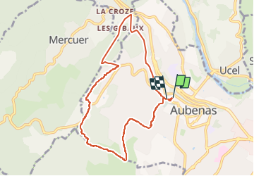

11,3 km | 15,9 km-effort


Usuario


Aplicación GPS de excursión GRATIS
 SityTrail
IGN / Institutos geográficos
SityTrail World
El mundo es suyo
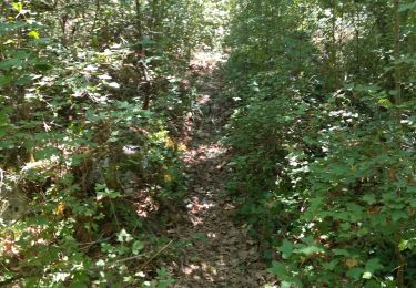
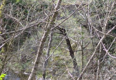
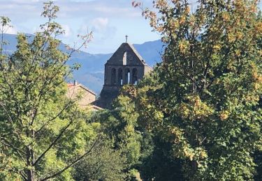
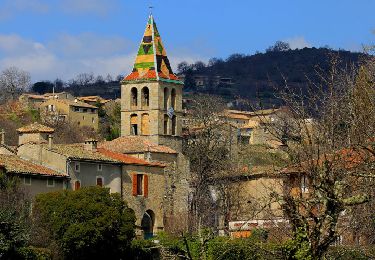
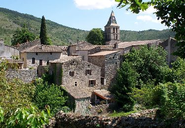
Ruta Senderismo de 9,1 km a descubrir en Auvergne-Rhône-Alpes, Ardecha, Aubenas. Esta ruta ha sido propuesta por coureursdecretes.
Balade effectuée partiellement et pour le reste tracée à partir d'un topo guide...Donc sous réserve !
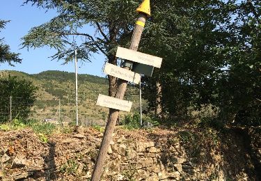
Senderismo
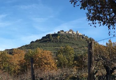
Senderismo
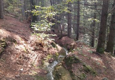
Senderismo
Senderismo
Senderismo

Senderismo
Senderismo
Senderismo
Senderismo