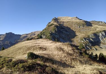
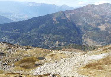
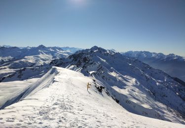
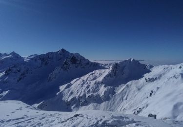
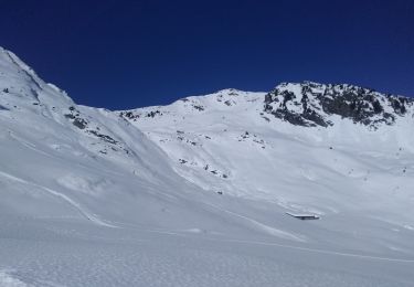
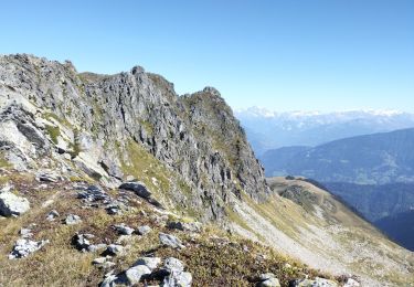
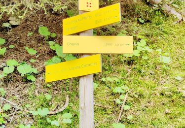
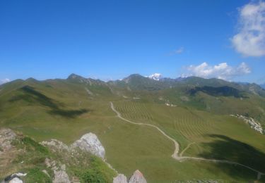
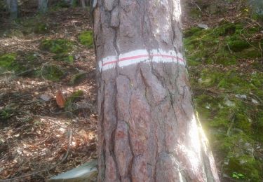
Excursión Senderismo La Léchère - le tour de Chris  - Photo
 romanet
romanet

Usuario

© OpenStreetMap contributors
Longitud
Longitud
6 km
Altitud máxima
Altitud máxima
844 m
Desnivel positivo
Desnivel positivo
423 m
Km-Effort
Km-Effort  
11,7 km
Altitud mínima
Altitud mínima
419 m
Desnivel negativo
Desnivel negativo
432 m
Boucle
Boucle
No
Fecha de creación :
2014-12-10 00:00:00.0
Última modificación :
2014-12-10 00:00:00.0

(0 Opinión)

Senderismo
Senderismo
--
Dificultad : Desconocido

Escanee este código QR para abrir la excursión en la aplicación SityTrail

Aplicación GPS de excursión GRATIS

Logo SityTrail SityTrail

IGN / Institutos geográficos

Descargar SityTrail en App Store Descargar SityTrail en Google Play

Logo SityTrail SityTrail World

El mundo es suyo

Descargar SityTrail en App Store Descargar SityTrail en Google Play Descargar SityTrail en Huawei AppGallery

A propósito

Ruta Senderismo de 6 km a descubrir en Auvergne-Rhône-Alpes, Saboya, La Léchère. Esta ruta ha sido propuesta por romanet.

Perfil altimétrico

Localización

País:
France
Región :
Auvergne-Rhône-Alpes
Departamento/provincia :
Saboya
Municipio :
La Léchère
Localidad:
Feissons-sur-Isère
Salida:(Dec)
Salida:(UTM)
302255 ; 5047618 (32T) N.

Excursiones cerca

Excursión Senderismo La Léchère - pte de Glais rouge, des Arangles et Roche brisée  - Photo
Senderismo
GUIDE
nadd73

Senderismo

Difícil
La Léchère, Auvergne-Rhône-Alpes, Saboya, France
9,3 km | 21 km-effort
4h 20min
Excursión Senderismo La Léchère - les marmottes noires et Bellacha  - Photo
Senderismo
GUIDE
nadd73

Senderismo

Medio
La Léchère, Auvergne-Rhône-Alpes, Saboya, France
12,2 km | 27 km-effort
5h 25min
Excursión Esquí de fondo La Léchère - M'ont Bellacha NE par le col de l'arc - Photo
Esquí de fondo
GUIDE
nadd73

Esquí de fondo

Difícil
La Léchère, Auvergne-Rhône-Alpes, Saboya, France
14,1 km | 35 km-effort
5h 32min
Excursión Esquí de fondo La Léchère - pointe des Arangles - Photo
Esquí de fondo
GUIDE
nadd73

Esquí de fondo

Medio
La Léchère, Auvergne-Rhône-Alpes, Saboya, France
12,9 km | 29 km-effort
5h 30min
Excursión Esquí de fondo Saint-Paul-sur-Isère - la thuile - Photo
Esquí de fondo
GUIDE
nadd73

Esquí de fondo

Fácil
Saint-Paul-sur-Isère, Auvergne-Rhône-Alpes, Saboya, France
11,4 km | 24 km-effort
5h 42min
Excursión Senderismo La Léchère - tour de la pointe de Colomban  - Photo
Senderismo
GUIDE
nadd73

Senderismo

Fácil
La Léchère, Auvergne-Rhône-Alpes, Saboya, France
6,3 km | 14,5 km-effort
3h 10min
No
Excursión Senderismo Cevins - Cevins acte 1 - Photo
Senderismo
bill73

Senderismo

Muy difícil
Cevins, Auvergne-Rhône-Alpes, Saboya, France
18,3 km | 40 km-effort
5h 7min
Excursión Senderismo La Léchère - Tour du Quermoz par Grand Naves  - Photo
Senderismo
zazie

Senderismo

Medio
La Léchère, Auvergne-Rhône-Alpes, Saboya, France
16 km | 30 km-effort
4h 30min
No
Excursión Senderismo La Léchère - Ronchat La Cudraz Navette Plan des Heures Balcon des Adrets de Tarentaise  - Photo
Senderismo
zazie

Senderismo

Difícil
La Léchère, Auvergne-Rhône-Alpes, Saboya, France
8,3 km | 13,7 km-effort
3h 0min


Cerrar
Mis suscripciones