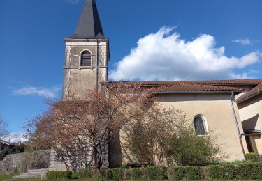
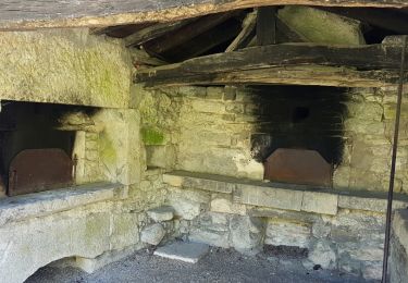
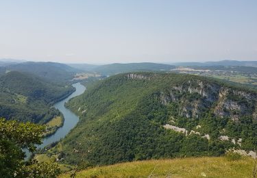
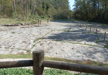
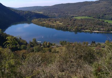
Excursión Senderismo Hautecourt-Romanèche - romaneche - Photo
 loca.yves
loca.yves

Usuario

© OpenStreetMap contributors
Longitud
Longitud
13 km
Altitud máxima
Altitud máxima
530 m
Desnivel positivo
Desnivel positivo
462 m
Km-Effort
Km-Effort  
19,2 km
Altitud mínima
Altitud mínima
315 m
Desnivel negativo
Desnivel negativo
464 m
Boucle
Boucle
Fecha de creación :
2024-03-21 09:19:01.138
Última modificación :
2024-03-21 14:40:02.868

(0 Opinión)

Senderismo
Senderismo
5h20
Dificultad : Muy difícil

Escanee este código QR para abrir la excursión en la aplicación SityTrail

Aplicación GPS de excursión GRATIS

Logo SityTrail SityTrail

IGN / Institutos geográficos

Descargar SityTrail en App Store Descargar SityTrail en Google Play

Logo SityTrail SityTrail World

El mundo es suyo

Descargar SityTrail en App Store Descargar SityTrail en Google Play Descargar SityTrail en Huawei AppGallery

A propósito

Ruta Senderismo de 13 km a descubrir en Auvergne-Rhône-Alpes, Ain, Hautecourt-Romanèche. Esta ruta ha sido propuesta por loca.yves.

Descripción

belle

Perfil altimétrico

Fotos

Localización

País:
France
Región :
Auvergne-Rhône-Alpes
Departamento/provincia :
Ain
Municipio :
Hautecourt-Romanèche
Localidad:
Unknown
Salida:(UTM)
688423 ; 5117335 (31T) N.

Excursiones cerca

Excursión Ruta Hautecourt-Romanèche - Hautecourt - Photo
Ruta
bvlo

Ruta

Fácil
(1)
Hautecourt-Romanèche, Auvergne-Rhône-Alpes, Ain, France
12,6 km | 16,4 km-effort
Desconocido
Excursión sport Hautecourt-Romanèche - 2023-07-08_15h37m22_Romanèche MR projet 2023 - Photo
sport
loca.yves

sport

Muy fácil
(1)
Hautecourt-Romanèche, Auvergne-Rhône-Alpes, Ain, France
10,8 km | 15,7 km-effort
Desconocido
Excursión Senderismo Grand-Corent - les crêtes du jardonnet de grand corrent  - Photo
Senderismo
colomb24

Senderismo

Fácil
Grand-Corent, Auvergne-Rhône-Alpes, Ain, France
10,1 km | 15,5 km-effort
4h 42min
Excursión Senderismo Matafelon-Granges - bonbois - Photo
Senderismo
kallentura

Senderismo

Fácil
Matafelon-Granges, Auvergne-Rhône-Alpes, Ain, France
10,3 km | 16,4 km-effort
3h 20min
Excursión Senderismo Sonthonnax-la-Montagne - Napt-mont Balvay - Photo
Senderismo
HB01

Senderismo

Medio
Sonthonnax-la-Montagne, Auvergne-Rhône-Alpes, Ain, France
12,8 km | 20 km-effort
3h 51min
Excursión Senderismo Hautecourt-Romanèche - romaneche - Photo
Senderismo
Mer0708

Senderismo

Muy difícil
Hautecourt-Romanèche, Auvergne-Rhône-Alpes, Ain, France
16 km | 23 km-effort
4h 5min
Excursión Senderismo Serrières-sur-Ain - Serrières Leyssard - Photo
Senderismo
Jackoyo

Senderismo

Difícil
Serrières-sur-Ain, Auvergne-Rhône-Alpes, Ain, France
16,6 km | 26 km-effort
4h 2min
Excursión Senderismo Sonthonnax-la-Montagne - pssevache - Photo
Senderismo
frbard

Senderismo

Difícil
Sonthonnax-la-Montagne, Auvergne-Rhône-Alpes, Ain, France
5,4 km | 9,9 km-effort
3h 12min
No
Excursión Senderismo Cize - Cize Roche de Jarbonnet Romaneche Grand corent  - Photo
Senderismo
Jackoyo

Senderismo

Fácil
Cize, Auvergne-Rhône-Alpes, Ain, France
8,6 km | 13,2 km-effort
1h 55min


Cerrar
Mis suscripciones