


14,6 km | 23 km-effort

Usuario


Aplicación GPS de excursión GRATIS
 SityTrail
IGN / Institutos geográficos
SityTrail World
El mundo es suyo
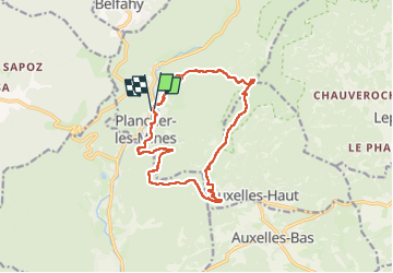
Ruta Senderismo de 14,3 km a descubrir en Borgoña-Franco Condado, Alto Saona, Plancher-les-Mines. Esta ruta ha sido propuesta por Bart2015.
Randonnée sportive pour monter à la Planche des Belles Filles depuis Plancher-les-Mines. Première découverte : les mines de plomb argentifères, ... exploitées à partir du XVè siècle jusqu'à la fin du XIXème siècle , puis la Croix du Choléra (nom issu de l'épidémie de Choléra qui frappa la Franche-Comté en 1850). Belle vue depuis la Planche et plongée dans l'histoire des maquis pendant la seconde guerre mondiale. Descente au Mont Ménard et sa magnifique vue qui peut être l'occasion d'un pique-nique ... Lieu également marqué par l'histoire des maquis. Enfin descente tranquille vers Plancher-les-Mines.
Bâtons conseillés.
Bonne rando ...


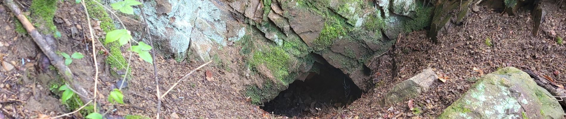
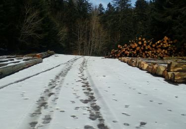
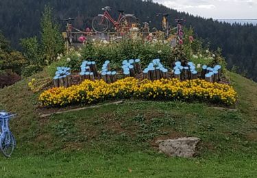
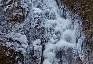
33 fotos en total. Haga clic en una foto para mostrarlas todas en la galería.

Senderismo

Senderismo

Senderismo

Senderismo

Senderismo

Senderismo
Senderismo
Senderismo
Senderismo