


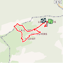

9,7 km | 15,3 km-effort


Usuario


Aplicación GPS de excursión GRATIS
 SityTrail
IGN / Institutos geográficos
SityTrail World
El mundo es suyo
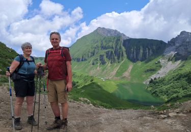
Ruta Marcha nórdica de 11,2 km a descubrir en Auvergne-Rhône-Alpes, Alta Saboya, Glières-Val-de-Borne. Esta ruta ha sido propuesta por paul74.
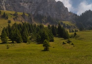
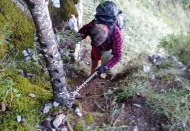
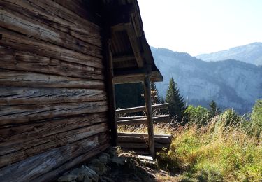
Parking avant La Sambuy Mt 960 aprés la route est verglacée .Col des Chasseurs - La Dent - Restaurant de Bellajoux - retour sur route jeepable. Raquettes utiles- 12 kms

Senderismo
Senderismo

Esquí de fondo

Esquí de fondo
Senderismo
Senderismo

Senderismo
Senderismo
Senderismo