


9 km | 11,4 km-effort

Par Mumu.larandonneuse


Aplicación GPS de excursión GRATIS
 SityTrail
IGN / Institutos geográficos
SityTrail World
El mundo es suyo
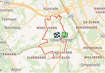
Ruta Senderismo de 14 km a descubrir en Limburgo, Desconocido, Voerendaal. Esta ruta ha sido propuesta por Je vous emmène sur mes chemins .
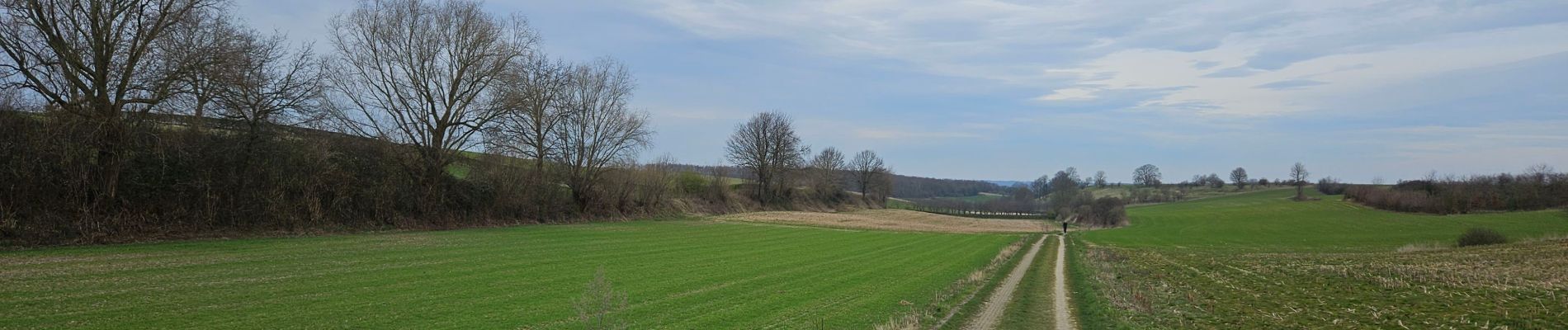
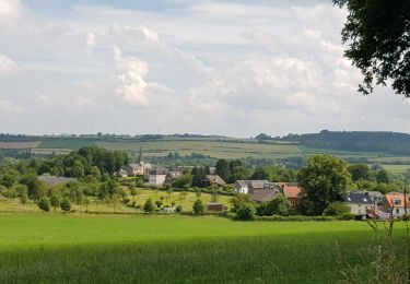
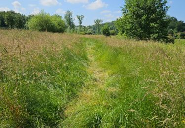
🇳🇱 Une randonnée dans la région de Voerendaal passant par le Kunderberg et plusieurs hameaux : Winthagen, Colmont, Trintelen et Mingersborg.
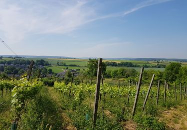
🏘 Ubachsberg est situé au milieu du "Land van Kalk", sur son propre plateau. Tout autour se trouvent des collines de prairies arides, des vignobles, des murs calcaires abrupts et des vergers fruitiers.
www.visitzuidlimburg.fr
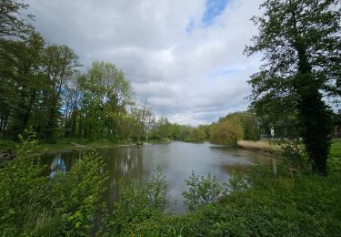
👀 Des panoramas à 360°


Senderismo
Senderismo
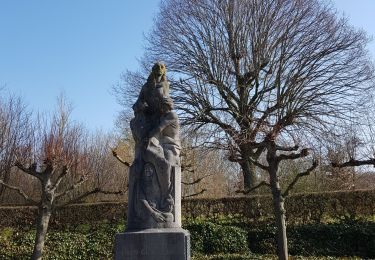
Senderismo
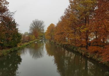
Senderismo
Senderismo
Senderismo

Senderismo
Senderismo
Senderismo