


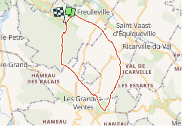

12,9 km | 15,3 km-effort


Usuario


Aplicación GPS de excursión GRATIS
 SityTrail
IGN / Institutos geográficos
SityTrail World
El mundo es suyo
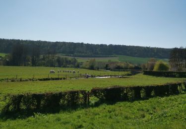
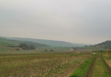
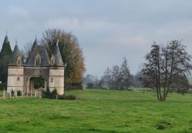
Ruta Senderismo de 12,5 km a descubrir en Normandía, Sena-Marítimo, Freulleville. Esta ruta ha sido propuesta por crocheval.
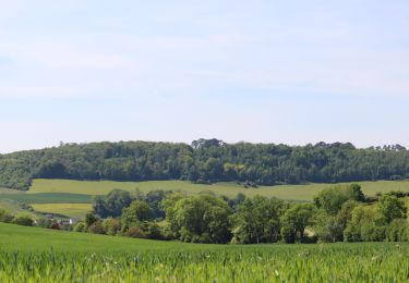
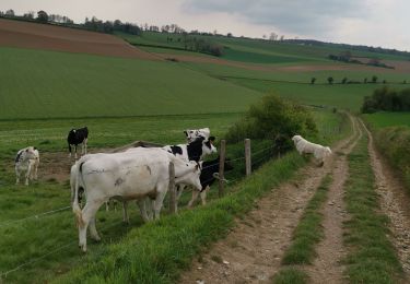
Randonnée à partir du Croc , magnifique vue de la vallée entre les Grandes Ventes et St Vaast d'Equiqueville

Senderismo
Senderismo

Bici de montaña
Senderismo
Senderismo
Senderismo
Senderismo
Senderismo
Senderismo