


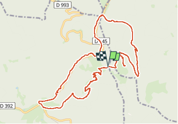


12,6 km | 16,9 km-effort

Usuario


Aplicación GPS de excursión GRATIS
 SityTrail
IGN / Institutos geográficos
SityTrail World
El mundo es suyo
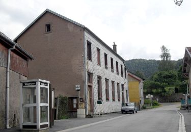
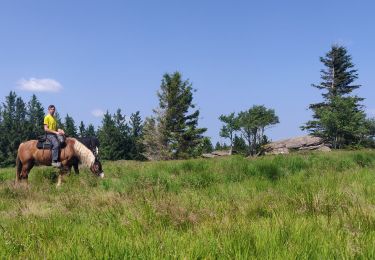
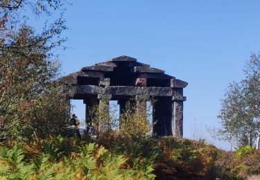
Ruta Senderismo de 12,5 km a descubrir en Gran Este, Bajo-Rin, Grandfontaine. Esta ruta ha sido propuesta por dragonchef.
parcours à la découverte du petit et du grand Donon, des vestiges archéologiques, des blochaus de la Première guerre mondiale ainsi que les tombes des soldats français et allemands tombés


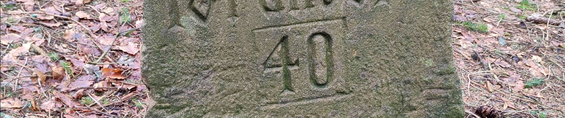
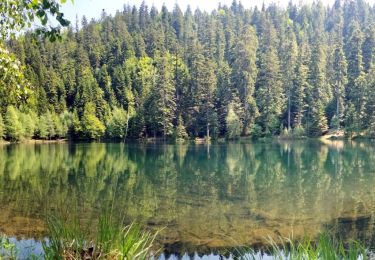
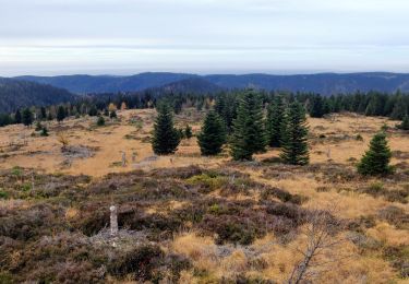
34 fotos en total. Haga clic en una foto para mostrarlas todas en la galería.

Senderismo

Senderismo

Senderismo

Senderismo
Senderismo
Senderismo
A pie
Paseo ecuestre
Senderismo