


9,8 km | 13,1 km-effort

Usuario


Aplicación GPS de excursión GRATIS
 SityTrail
IGN / Institutos geográficos
SityTrail World
El mundo es suyo
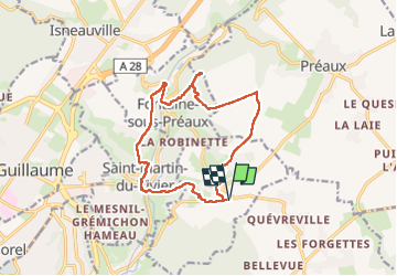
Ruta Senderismo de 13,1 km a descubrir en Normandía, Sena-Marítimo, Roncherolles-sur-le-Vivier. Esta ruta ha sido propuesta por Childebert.
Parcours dévié suite à une battue de chasse Attendre la fin de la saison de chasse ou dévier le circuit en passant par le chemin du mont rôti


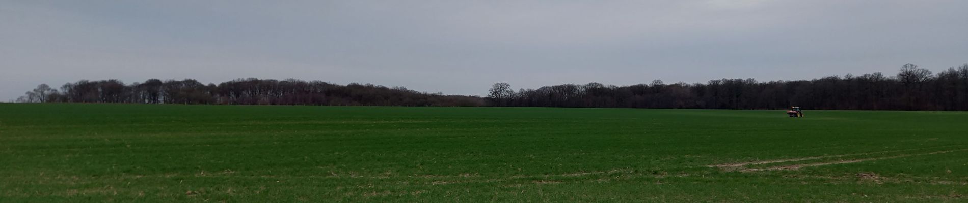
Senderismo

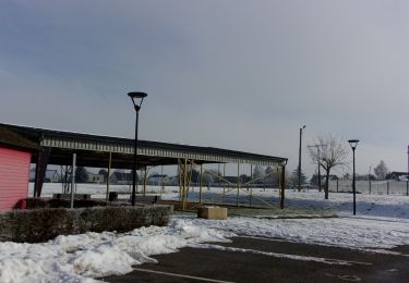
Senderismo

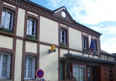
Senderismo
Senderismo

Senderismo
Senderismo

Senderismo

Senderismo
Senderismo