


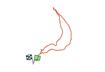

8,2 km | 18,4 km-effort


Usuario


Aplicación GPS de excursión GRATIS
 SityTrail
IGN / Institutos geográficos
SityTrail World
El mundo es suyo
Ruta Senderismo de 8,3 km a descubrir en Provenza-Alpes-Costa Azul, Altos Alpes, Châteauroux-les-Alpes. Esta ruta ha sido propuesta por damlou.
Départ Chamousse
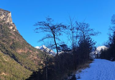
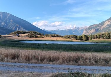
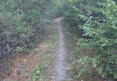
plein Sud une partie dégagée une partie bois une partie dégagée

Senderismo

Senderismo

Senderismo

Senderismo

Senderismo

Senderismo
Raquetas de nieve
Senderismo
Senderismo
Belle balade avec une superbe vue sur La Durance et le Rabiou plein Sud Aller par les balcons de la Durance retour par le sentier du facteur 2 parties dégagée 1 partie forêt