


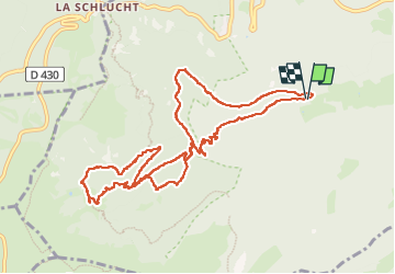

14,4 km | 22 km-effort

Usuario


Aplicación GPS de excursión GRATIS
 SityTrail
IGN / Institutos geográficos
SityTrail World
El mundo es suyo
Ruta Senderismo de 11,3 km a descubrir en Gran Este, Alto Rin, Stosswihr. Esta ruta ha sido propuesta por oscar1.
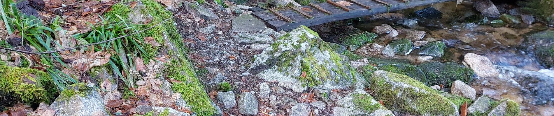
Belle randonnée en passant par la cascade pour arriver après 6 km environ de montée au Frankenthal. La montée se fait entre sentier et chemin.


Senderismo

Senderismo

Senderismo

Senderismo

Otra actividad

Senderismo

Senderismo

Bici de montaña

Senderismo