![](/images/other/stat-length.png)
![Excursión Bici de montaña Saint-Cirq-Lapopie - Rando VTT St-Cirq-Lapopie - Igue de Crégols - Photo](https://media.geolcdn.com/t/1900/400/ext.pjpeg?maxdim=2&url=https%3A%2F%2Fstatic1.geolcdn.com%2Fsiteimages%2Fupload%2Ffiles%2F1524743154velo.jpg)
Rando VTT St-Cirq-Lapopie - Igue de Crégols
simon32
Usuario
![Longitud](/images/other/stat-length.png)
![Altitud máxima](https://static1.geolcdn.com/siteimages/upload/files/1508320355ic_sort_altitude_max_24dp.png)
![Desnivel positivo](https://static1.geolcdn.com/siteimages/upload/files/1508320355ic_sort_den_pos_24dp.png)
![Km-Effort](/images/other/stat-length.png)
![Altitud mínima](https://static1.geolcdn.com/siteimages/upload/files/1508320355ic_sort_altitude_min_24dp.png)
![Desnivel negativo](https://static1.geolcdn.com/siteimages/upload/files/1508320355ic_sort_den_neg_24dp.png)
![Boucle](https://static1.geolcdn.com/siteimages/upload/files/16400158638029165_repeat_loop_refresh_sync_direction_icon.png)
![Bici de montaña](https://static1.geolcdn.com/sitytour/trail-icons/202.png)
3h37
Dificultad : Difícil
![Escanee este código QR para abrir la excursión en la aplicación SityTrail](https://capi.geolives.com/qq0zvz2zws4bq2lad0pu/sitytour/trails/394798/qr.png?size=200)
Aplicación GPS de excursión GRATIS
A propósito
Ruta Bici de montaña de 41 km a descubrir en Occitania, Lot, Saint-Cirq-Lapopie. Esta ruta ha sido propuesta por simon32.
Descripción
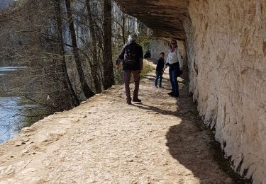
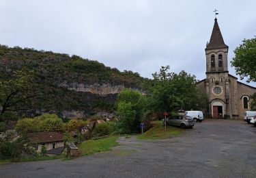
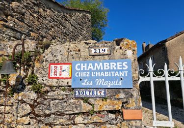
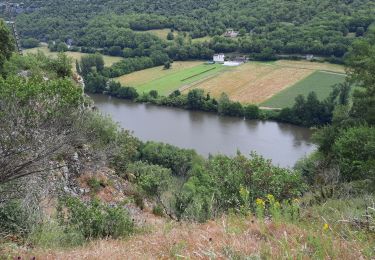
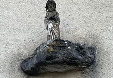
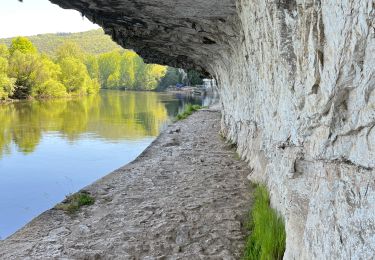
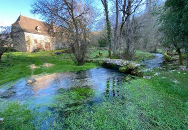
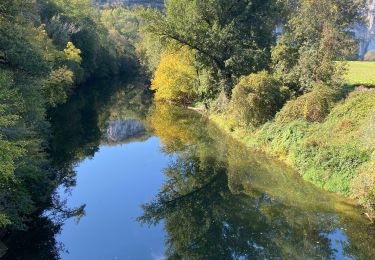
Un beau circuit avec alternance de chemins, sentiers et beaux points de vue.Le circuit débute en longeant le Lot au pied des falaises, pour s'engager plus loin sur l’ancien chemin de halage, taillé dans la falaise, superbe !Arrivé à Bouziès, une portion goudronnée permet de prendre de la hauteur, puis chemins et sentiers, à travers buis, ramènent facilement sur les hauteurs de St-Cirq. Suivent un rude chemin montant...puis une petite route... et enfin, récompense, un beau single à profil descendant, il rejoint le GR qui plonge ensuite jusqu’au point de vue sur le cirque de Vènes. Un peu plus loin, s'engage une belle descente dans les buis. Ça devient de plus en plus technique... la fin devant se faire à côté du vélo. On atteint le hameau de Crégols, un chemin montant rejoint le gouffre, "l'Igue" en jargon local. Après un passage sur un chemin empierré où les TS seront à la fête... puis quelques cheminements en fond de combe, un beau sentier s'amorce à Roquecave, peu pentu mais très roulant, régal ! Passé St Clair, un single rapide et rectiligne rejoint une piste, d'où les plus curieux pourront faire un aller-retour vers la résurgence de "Trou Madame". La piste s'élève ensuite vers le "Mas de Labat", d'où l’on rejoindra en bord de falaise un trop court single joueur (ne pas laisser filer sur ce single la bifurcation à gauche qui s'engage sur une portion plus pentue). On retrouve la vallée à Cénevières. Arrivé à Crégols, on frôlera la trace de l'aller, il ne faudra pas rater le discret sentier qui s'engage à droite au niveau d'un parapet. Un peu de goudron ramènera ensuite à la plage... de St-Cirq.
Localización
Comentarios
Excursiones cerca
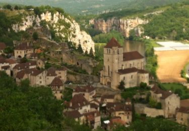
![Excursión Senderismo Saint-Cirq-Lapopie - Circuit sud de St Cirq Lapopie - Photo](https://media.geolcdn.com/t/375/260/ext.jpg?maxdim=2&url=https%3A%2F%2Fservices.sitytrail.com%2FGeolivesWS%2FDownloadMedia.ashx%3FTrailID%3D136873%26Media%3D13540_3.jpg)
![Senderismo Senderismo](https://static1.geolcdn.com/sitytour/trail-icons/101.png)
Senderismo
![](/images/other/stat-length.png)
![](https://static1.geolcdn.com/siteimages/upload/files/16400158638029165_repeat_loop_refresh_sync_direction_icon.png)
![Excursión Senderismo Bouziès - St Cirq Lapopie - Photo](https://media.geolcdn.com/t/375/260/44c160a2-93bf-4659-a751-61d8e3a0eb0e.jpg&format=jpg&maxdim=2)
![Senderismo Senderismo](https://static1.geolcdn.com/sitytour/trail-icons/101.png)
Senderismo
![](/images/other/stat-length.png)
![](https://static1.geolcdn.com/siteimages/upload/files/16400158638029165_repeat_loop_refresh_sync_direction_icon.png)
![Excursión Senderismo Cabrerets - Etape 3 Cabrenets Bouziès St Cirq Bouziés - Photo](https://media.geolcdn.com/t/375/260/eb50dffb-c87e-4a9e-b7bf-cb556263d54c.jpg&format=jpg&maxdim=2)
![Senderismo Senderismo](https://static1.geolcdn.com/sitytour/trail-icons/101.png)
Senderismo
![](/images/other/stat-length.png)
![](https://static1.geolcdn.com/siteimages/upload/files/16400158638029165_repeat_loop_refresh_sync_direction_icon.png)
![Excursión Senderismo Bouziès - Étape 4 Bouziès Les Mazuts - Photo](https://media.geolcdn.com/t/375/260/0fdee0ad-1a12-42b8-a827-ee8edec2f1aa.jpg&format=jpg&maxdim=2)
![Senderismo Senderismo](https://static1.geolcdn.com/sitytour/trail-icons/101.png)
Senderismo
![](/images/other/stat-length.png)
![](https://static1.geolcdn.com/siteimages/upload/files/16400158638029165_repeat_loop_refresh_sync_direction_icon.png)
![Excursión Senderismo Cabrerets - Lot CABRERET BEARD - Photo](https://media.geolcdn.com/t/375/260/8fbbbeec-d494-492c-8bdb-b53bc7ff4969.jpg&format=jpg&maxdim=2)
![Senderismo Senderismo](https://static1.geolcdn.com/sitytour/trail-icons/101.png)
Senderismo
![](/images/other/stat-length.png)
![](https://static1.geolcdn.com/siteimages/upload/files/16400158638029165_repeat_loop_refresh_sync_direction_icon.png)
![Excursión sport Saint-Cirq-Lapopie - 20240422 St Cirq - Vers - Photo](https://media.geolcdn.com/t/375/260/c7c2d083-3a15-4ad8-8255-9f2c2d891e51.jpg&format=jpg&maxdim=2)
sport
![](/images/other/stat-length.png)
![](https://static1.geolcdn.com/siteimages/upload/files/16400158638029165_repeat_loop_refresh_sync_direction_icon.png)
![Excursión sport Cabrerets - 20240421 Cabrerets - St Cirq - Photo](https://media.geolcdn.com/t/375/260/d84c365c-9ae9-4395-be90-dbc8ee116e29.jpg&format=jpg&maxdim=2)
sport
![](/images/other/stat-length.png)
![](https://static1.geolcdn.com/siteimages/upload/files/16400158638029165_repeat_loop_refresh_sync_direction_icon.png)
![Excursión Senderismo Cabrerets - Cabrerets Liauzu - Photo](https://media.geolcdn.com/t/375/260/9e8b98bf-3708-4f84-b612-7eff50bf29ed.jpg&format=jpg&maxdim=2)
![Senderismo Senderismo](https://static1.geolcdn.com/sitytour/trail-icons/101.png)
Senderismo
![](/images/other/stat-length.png)
![](https://static1.geolcdn.com/siteimages/upload/files/16400158638029165_repeat_loop_refresh_sync_direction_icon.png)
![Excursión Senderismo Bouziès - Bouzies St Cirq Conduche - Photo](https://media.geolcdn.com/t/375/260/2aaa2ad3-04a4-48d5-bfb5-10fb0e32fe3f.jpg&format=jpg&maxdim=2)
![Senderismo Senderismo](https://static1.geolcdn.com/sitytour/trail-icons/101.png)
Senderismo
![](/images/other/stat-length.png)
![](https://static1.geolcdn.com/siteimages/upload/files/16400158638029165_repeat_loop_refresh_sync_direction_icon.png)