


14,4 km | 17 km-effort


Usuario


Aplicación GPS de excursión GRATIS
 SityTrail
IGN / Institutos geográficos
SityTrail World
El mundo es suyo
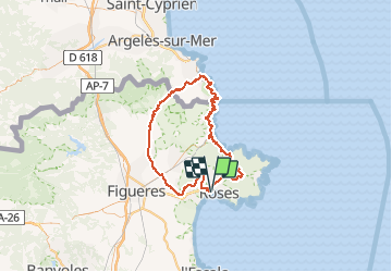
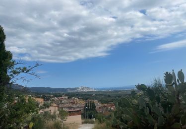
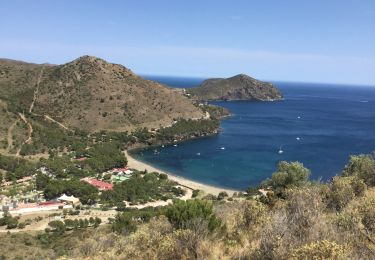
Ruta Bicicleta de 112 km a descubrir en Cataluña, Gerona, Roses. Esta ruta ha sido propuesta por Polo-31.
Roses, Castello d'empuries, vilanova de la Muga, Peralada, Mollet de Peralada, Espolla, Col de Banyuls, Banyuls, Cerbère, Portbou, Colera, Llançà, El Port de la Selva, Col de Perafita, Roses.
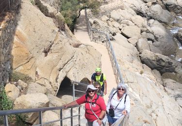
Senderismo
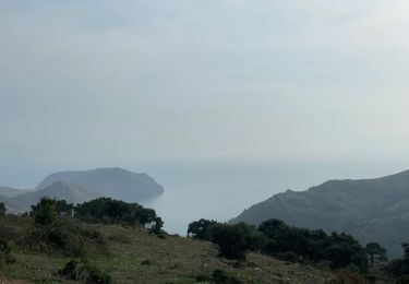
Senderismo
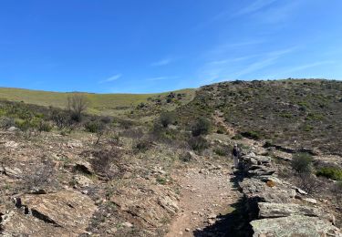
Senderismo
Senderismo
Senderismo
Senderismo
Senderismo

Senderismo