


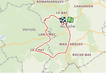

12,8 km | 17 km-effort


Usuario


Aplicación GPS de excursión GRATIS
 SityTrail
IGN / Institutos geográficos
SityTrail World
El mundo es suyo
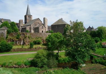
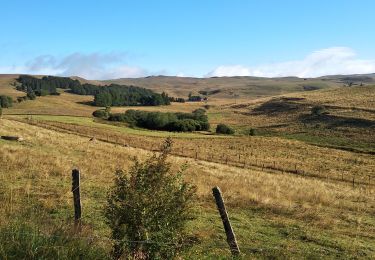
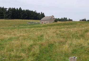
Ruta Senderismo de 14,5 km a descubrir en Auvergne-Rhône-Alpes, Cantal, Allanche. Esta ruta ha sido propuesta por martial15.
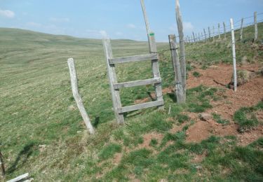
petite randonnée familiale avec de très beaux paysages très facile d'accès à éviter en poussette
Senderismo
Senderismo
Senderismo
Senderismo

Marcha nórdica

Senderismo

Bici de carretera
Bici de montaña
Senderismo