


14,6 km | 22 km-effort


Usuario


Aplicación GPS de excursión GRATIS
 SityTrail
IGN / Institutos geográficos
SityTrail World
El mundo es suyo
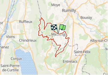
Ruta Ruta de 33 km a descubrir en Auvergne-Rhône-Alpes, Alta Saboya, Massingy. Esta ruta ha sido propuesta por djeepee74.
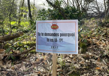
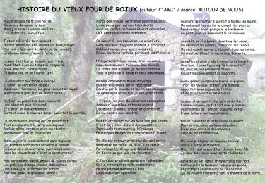
Attention: cette course emprunte des sentiers privés, lesquels ne sont ouverts et autorisés d'accès par les propriétaires, que le jour de la compétition.

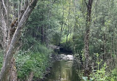
Senderismo

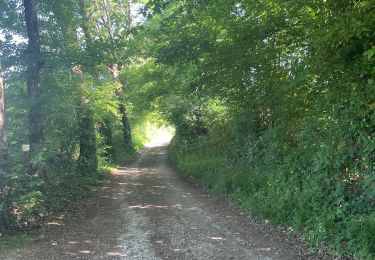
Senderismo
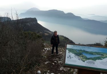
Senderismo
Senderismo
Senderismo
Senderismo
Senderismo
Senderismo
Senderismo