


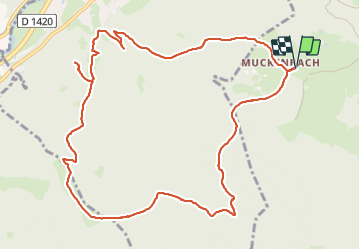

14,9 km | 21 km-effort

Usuario GUIDE


Aplicación GPS de excursión GRATIS
 SityTrail
IGN / Institutos geográficos
SityTrail World
El mundo es suyo
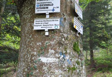
Ruta Senderismo de 12,1 km a descubrir en Gran Este, Bajo-Rin, Grendelbruch. Esta ruta ha sido propuesta por holtzv.
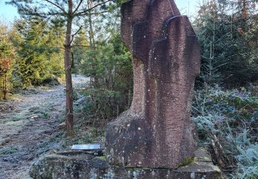
Marche depuis Muckenbach en passant par le col de Teufelsloch, la prairie de la Hongrie, l’abri de la Marbrière et son point de vue


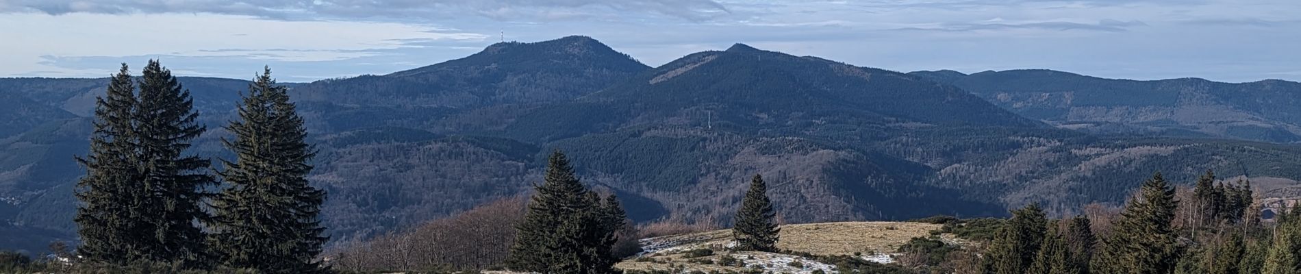
Senderismo

Senderismo
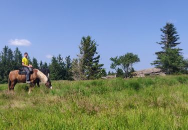
Paseo ecuestre
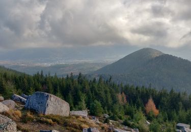
Senderismo

Paseo ecuestre
Senderismo
Senderismo
Senderismo
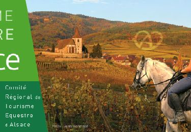
Paseo ecuestre