


23 km | 35 km-effort


Usuario


Aplicación GPS de excursión GRATIS
 SityTrail
IGN / Institutos geográficos
SityTrail World
El mundo es suyo
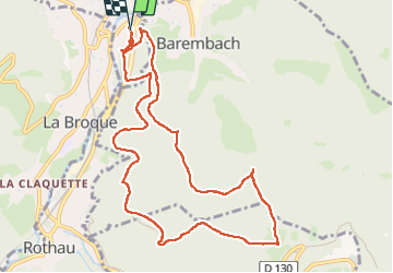
Ruta Senderismo de 11 km a descubrir en Gran Este, Bajo-Rin, Schirmeck. Esta ruta ha sido propuesta por Bart2015.
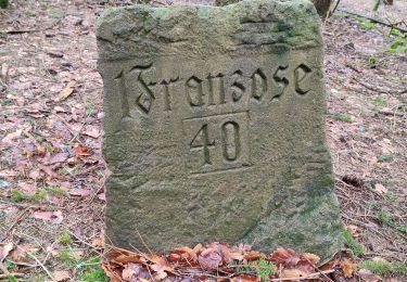
Construit au début du Xllle siècle, ce château fut détruit par les Suédois en 1633 pendant la Guerre de Trente Ans. En 1705, les Français songèrent à le reconstruire, mais abandonnèrent le projet et, en 1778, on édifia le clocher de l'église avec les matériaux du château...
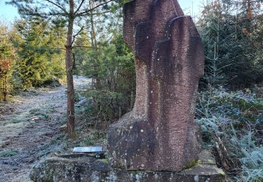
C'est donc bercé par l'histoire que débute cette jolie rando qui emprunte des sentiers chargé ... d'histoire ...
Bonne balade ...


25 fotos en total. Haga clic en una foto para mostrarlas todas en la galería.

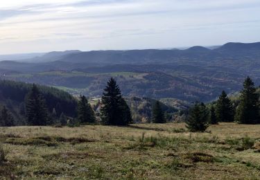
Senderismo

Senderismo
Paseo ecuestre
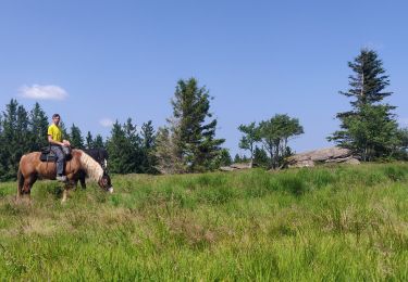
Paseo ecuestre
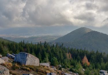
Senderismo

Paseo ecuestre
Senderismo
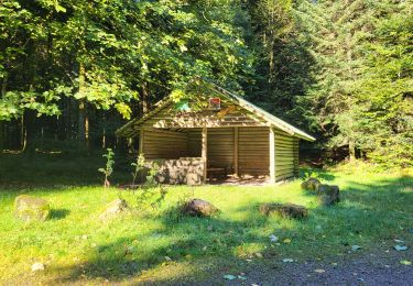
Senderismo
Senderismo