


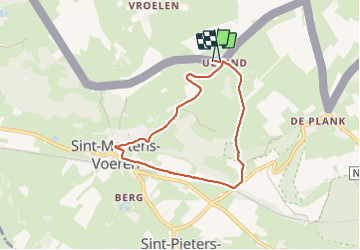

12,5 km | 14,5 km-effort

Usuario GUIDE


Aplicación GPS de excursión GRATIS
 SityTrail
IGN / Institutos geográficos
SityTrail World
El mundo es suyo
Ruta Senderismo de 5,8 km a descubrir en Flandes, Limburgo, Voeren. Esta ruta ha sido propuesta por mumu.larandonneuse.
Balade dans les paysages bocagers des Fourons vers Fouron-Saint-Martin pour y découvrir la splendide crèche dans le chœur de l'église Sint-Martinus.
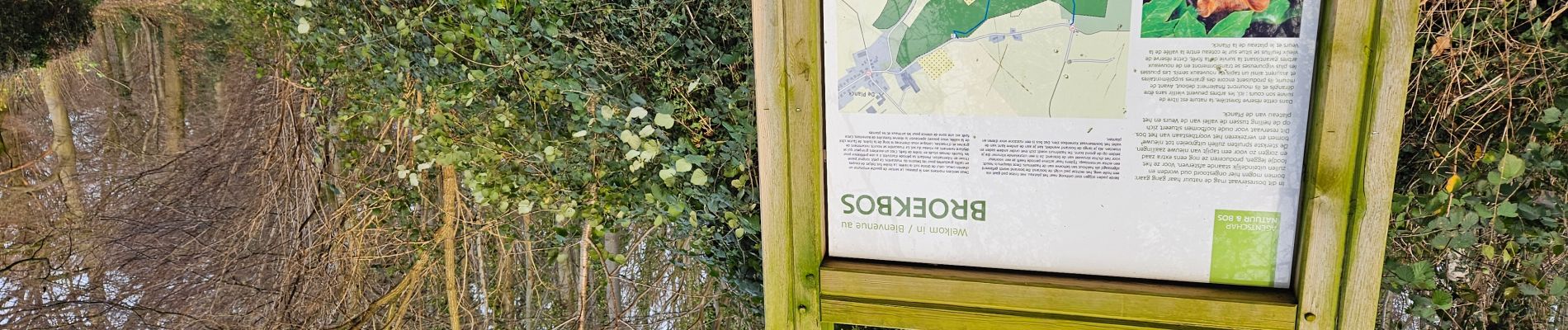
📍't Bakhuis


Senderismo

Senderismo

Senderismo

Senderismo

Senderismo

Senderismo

Senderismo

Senderismo
Senderismo