


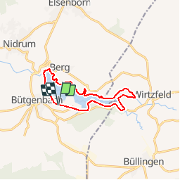


14,4 km | 17,3 km-effort


Usuario


Aplicación GPS de excursión GRATIS
 SityTrail
IGN / Institutos geográficos
SityTrail World
El mundo es suyo
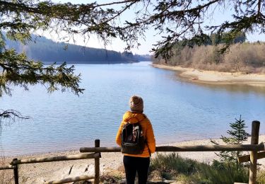
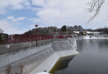
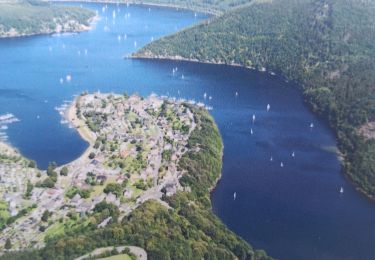
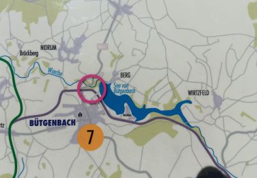
Ruta Senderismo de 10 km a descubrir en Valonia, Lieja, Bütgenbach. Esta ruta ha sido propuesta por pecha.
Balisage : rectangle jaune
Parking : parking (piscine) au centre Worriken
Dénivelé : 40m
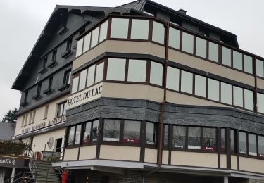
Resto : Butgenbacher Hof (Markplatz 8)
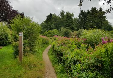
Senderismo
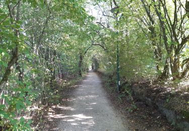
Senderismo
Senderismo
Senderismo
Senderismo

Senderismo
Senderismo
Senderismo
Senderismo
Magnifique randonnée et facile 👍👍👍👍👍