


30 km | 40 km-effort


Usuario


Aplicación GPS de excursión GRATIS
 SityTrail
IGN / Institutos geográficos
SityTrail World
El mundo es suyo
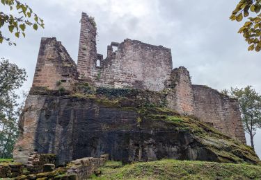
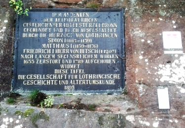
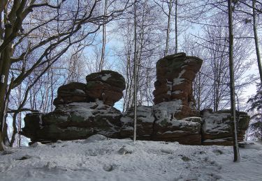
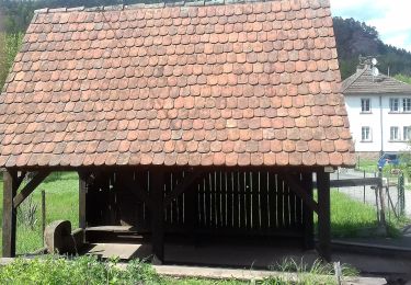
Ruta Senderismo de 9,5 km a descubrir en Gran Este, Bajo-Rin, Obersteinbach. Esta ruta ha sido propuesta por Dominique Baudelocque .
G2 : retour par triangle jaune (diagonale)
G1: passage au Schoeneck, au sud de la diagonale triangle jaune
Pas de chasse déclarée les 26 (reco) ou 30 novembre (rando du jeudi)
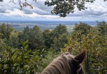
Paseo ecuestre
Paseo ecuestre

Paseo ecuestre
A pie
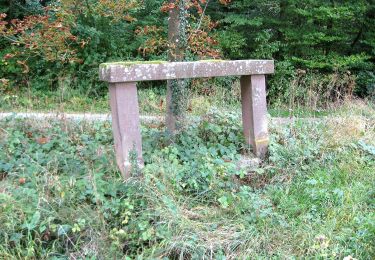
A pie

A pie
A pie
A pie