


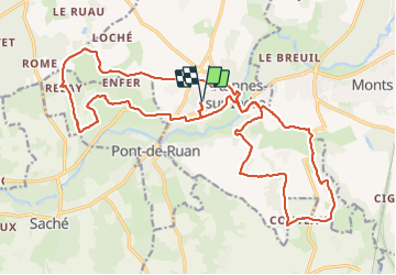

22 km | 26 km-effort

Usuario GUIDE


Aplicación GPS de excursión GRATIS
 SityTrail
IGN / Institutos geográficos
SityTrail World
El mundo es suyo
Ruta Senderismo de 26 km a descubrir en Centro, Indre y Loira, Artannes-sur-Indre. Esta ruta ha sido propuesta por Orcal37.
Artannes-sur-Indre - PR les Lavandières 14.8km et PR la Vallée du Lys 11.4km - 25.4km 310m 5h45 (25mn) - 2023 11 11
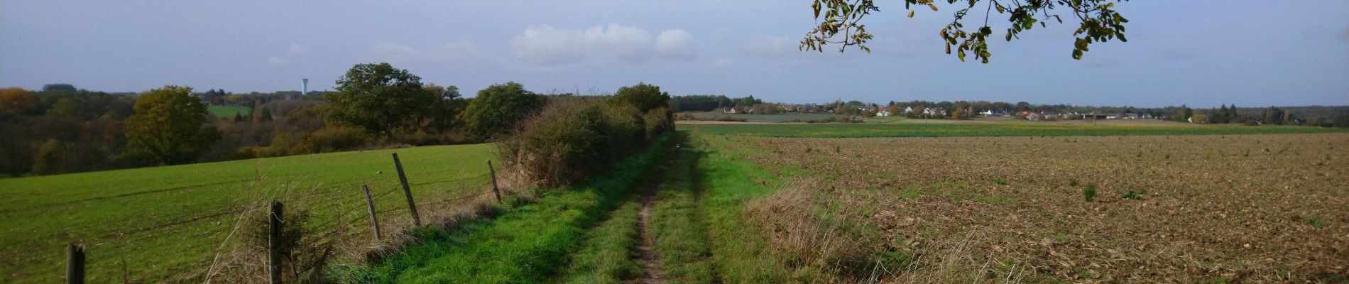
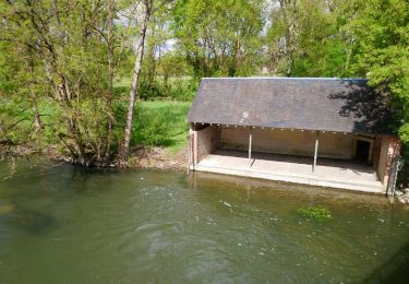
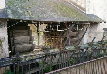
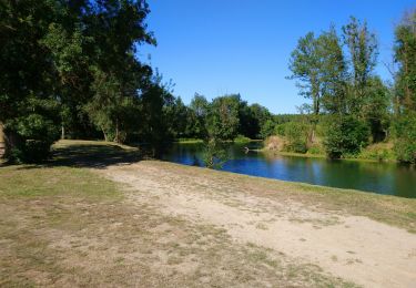
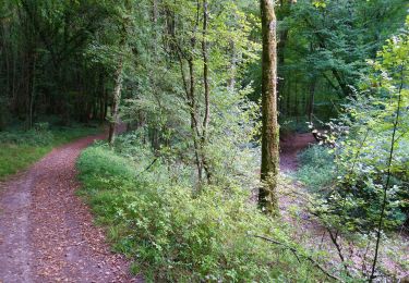
 - 2023 11 11 - Photo 1")
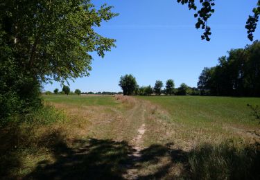
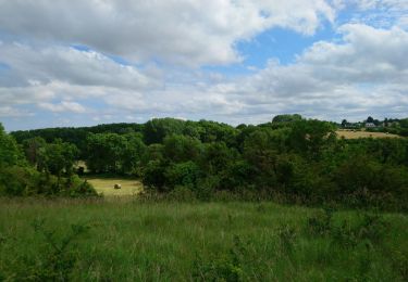
 - 2023 11 11 - Photo 2")
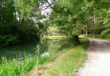
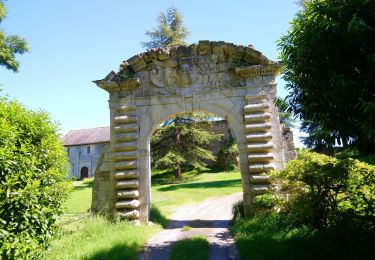
 - 2023 11 11 - Photo 3")
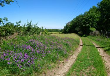
 - 2023 11 11 - Photo 4")
 - 2023 11 11 - Photo 5")
Senderismo
Senderismo
Senderismo
Senderismo
Senderismo
Senderismo
Senderismo
Senderismo
Senderismo