


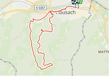


13 km | 22 km-effort

Usuario


Aplicación GPS de excursión GRATIS
 SityTrail
IGN / Institutos geográficos
SityTrail World
El mundo es suyo
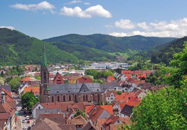
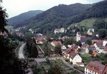
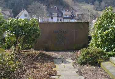
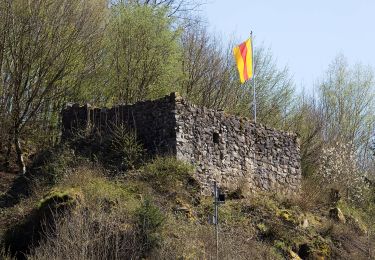
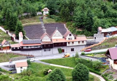
Ruta Senderismo de 10,7 km a descubrir en Baden-Wurtemberg, Ortenaukreis, Hausach. Esta ruta ha sido propuesta por Bart2015.
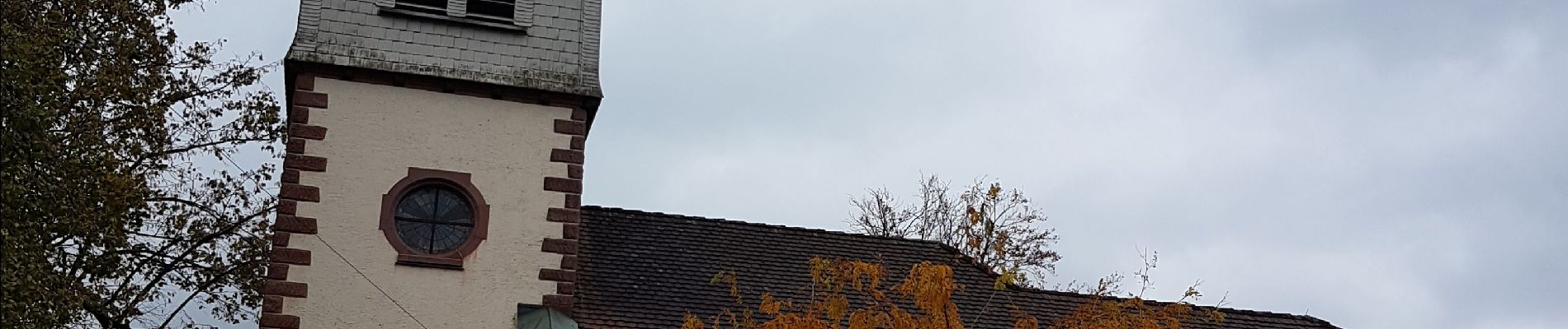
Petite randonnée qui nous conduit au château Husen au-dessus du village. Le sentier longe ensuite de multiples jeux qui raviront les enfants avant de retourner au village par de jolis paysages ...
Bonne rando ...


28 fotos en total. Haga clic en una foto para mostrarlas todas en la galería.
A pie
A pie
A pie
A pie
A pie

A pie
A pie
A pie

Senderismo