


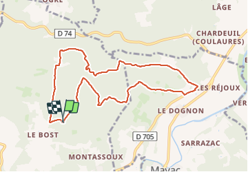

9,9 km | 12,6 km-effort


Usuario


Aplicación GPS de excursión GRATIS
 SityTrail
IGN / Institutos geográficos
SityTrail World
El mundo es suyo
Ruta Senderismo de 9,7 km a descubrir en Nueva Aquitania, Dordogne, Savignac-les-Églises. Esta ruta ha sido propuesta por pascalmilpas.
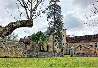
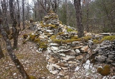
boucle de 10kms tres propre passant des sentiers des Bories au sentier artistique
PK au hangar de Hache

Senderismo
Senderismo
Senderismo
Senderismo

Senderismo
Senderismo
Marcha nórdica
Marcha nórdica

Senderismo