


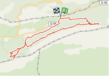

8,4 km | 15,5 km-effort

Usuario


Aplicación GPS de excursión GRATIS
 SityTrail
IGN / Institutos geográficos
SityTrail World
El mundo es suyo
Ruta Senderismo de 13,4 km a descubrir en Provenza-Alpes-Costa Azul, Var, Plan-d'Aups-Sainte-Baume. Esta ruta ha sido propuesta por famillerudent.
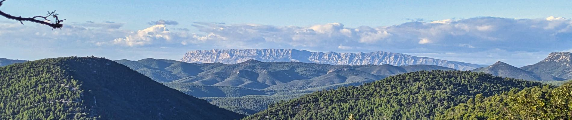
petite boucle trés agréable pour les couleurs d'automne avec une boucle en aller retopur sur le sentier merveilleux et la montée à la grotte de marie madeleine pour avoir une belle vue sur le massif


Senderismo

Senderismo

Senderismo

Senderismo

Senderismo

Senderismo

Senderismo

Senderismo

A pie