


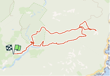

17,7 km | 25 km-effort

Usuario GUIDE


Aplicación GPS de excursión GRATIS
 SityTrail
IGN / Institutos geográficos
SityTrail World
El mundo es suyo
Ruta Senderismo de 11,9 km a descubrir en Provenza-Alpes-Costa Azul, Var, Saint-Raphaël. Esta ruta ha sido propuesta por donda.
Parking Col de Belle Barbe - Ravin des lentisques - Baisse des Sangliers - Col des Lentisques - Pic d'Aurelle - Baisse des Sangliers
Balcon de l'Escale - Baisse Orientale - Retour parking


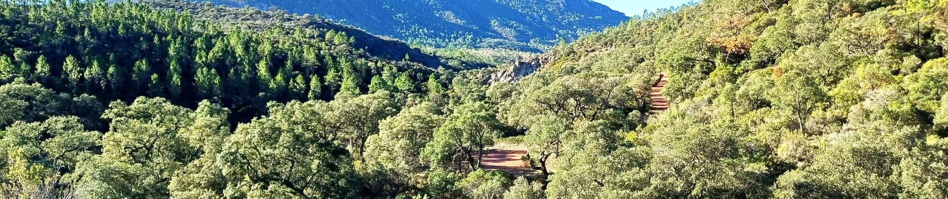
Senderismo

Senderismo

Senderismo

Senderismo

Senderismo

Senderismo

Senderismo

Senderismo

Senderismo