


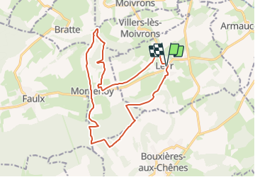

12,1 km | 15,5 km-effort


Usuario


Aplicación GPS de excursión GRATIS
 SityTrail
IGN / Institutos geográficos
SityTrail World
El mundo es suyo
Ruta Senderismo de 16,2 km a descubrir en Gran Este, Meurthe y Mosela, Leyr. Esta ruta ha sido propuesta por DanielROLLET.
2023 11 03 - 9:00 à 13:00 - Avec Marie
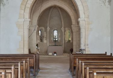
Départ/Retour église de Leyr.
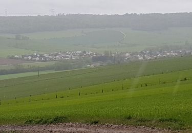
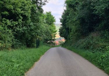
Temps frais couvert puis ensoleillé
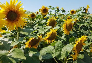
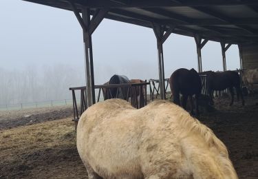
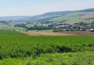
Quelques beaux panoramas.
Senderismo
Senderismo

Senderismo
Senderismo
Senderismo
Senderismo

A pie
Senderismo
Senderismo