


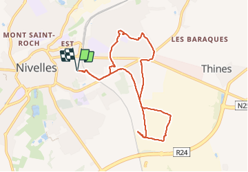

12,8 km | 15 km-effort


Usuario


Aplicación GPS de excursión GRATIS
 SityTrail
IGN / Institutos geográficos
SityTrail World
El mundo es suyo
Ruta Senderismo de 8 km a descubrir en Valonia, Brabante Valón, Nivelles. Esta ruta ha sido propuesta por Mady Lambert.
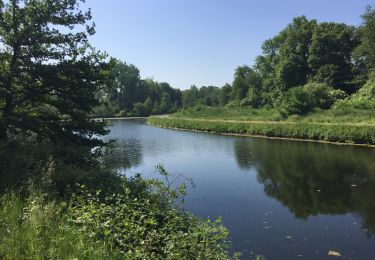
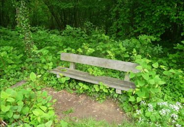
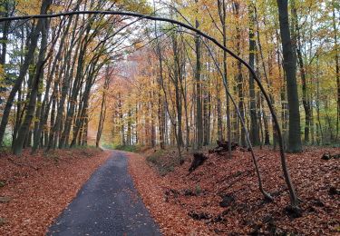
Champs, petits sentiers, beaucoup de verdure, un peu de routes. Beaucoup de liberté pour les chiens. Bonnes chaussures indispensables.

Senderismo

Senderismo

Senderismo

Senderismo

Senderismo

Senderismo
Senderismo
Marcha nórdica
Senderismo