


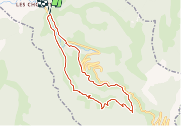

11,6 km | 23 km-effort


Usuario


Aplicación GPS de excursión GRATIS
 SityTrail
IGN / Institutos geográficos
SityTrail World
El mundo es suyo
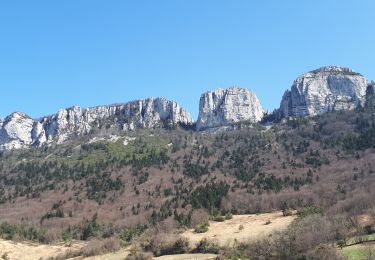
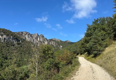
Ruta Senderismo de 9,2 km a descubrir en Auvergne-Rhône-Alpes, Drôme, Barbières. Esta ruta ha sido propuesta por hugo26.
au départ de Barbières sortie du village direction Col de Tourniol après le pont parking à gauche En tout 4km de route et 6km de sentiers
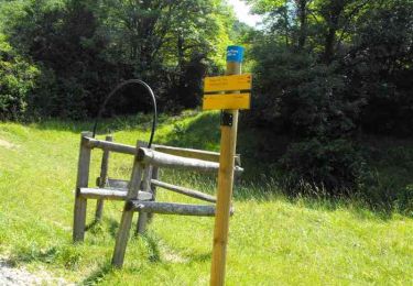
Senderismo
Senderismo

Senderismo

Senderismo
Senderismo

Senderismo

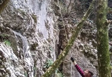
Bici de montaña

Senderismo

sport