


18,3 km | 21 km-effort


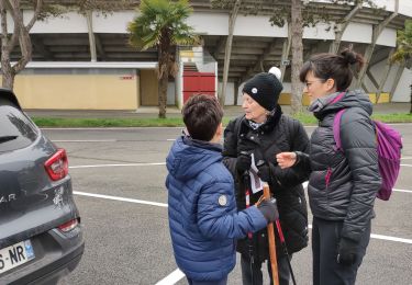
Usuario


Aplicación GPS de excursión GRATIS
 SityTrail
IGN / Institutos geográficos
SityTrail World
El mundo es suyo
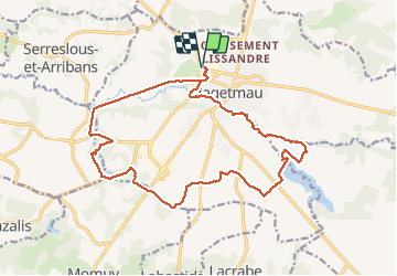
Ruta Senderismo de 19,8 km a descubrir en Nueva Aquitania, Landas, Hagetmau. Esta ruta ha sido propuesta por DuMarsan.
Large boucle au sud d' Hagetmau passant par les lacs d' Agès et d' Halco.
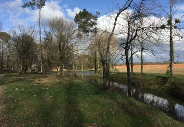
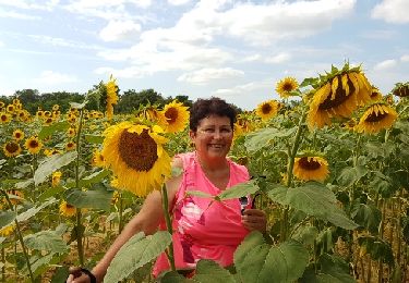
Le début de la rando est assez agréable. on suit en zone boisée le cours du Louts: belle lumière au petit matin.
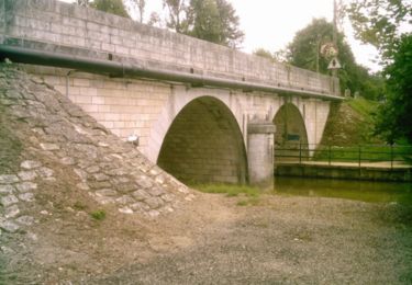
Le lac d' Agés est une retenue collinaire sans équipement. Parking voiture accessible par la D18.
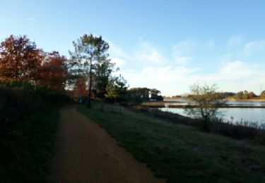
Les Lacs d' Halco offrent plus d' intérêt = succession de petits lacs enchevêtrés dans un bel espace boisé.
Intérêt aussi de l' hôtel-restaurant en bord de lac, bien que les prix soient plutôt dissuasifs pour des bourses modestes.

Senderismo
Senderismo
Senderismo
Senderismo
Senderismo
Bici de montaña

Senderismo
Senderismo

Senderismo