


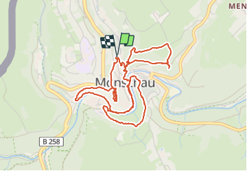


14,8 km | 18,2 km-effort

Usuario


Aplicación GPS de excursión GRATIS
 SityTrail
IGN / Institutos geográficos
SityTrail World
El mundo es suyo
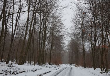
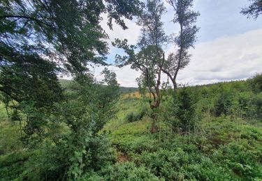
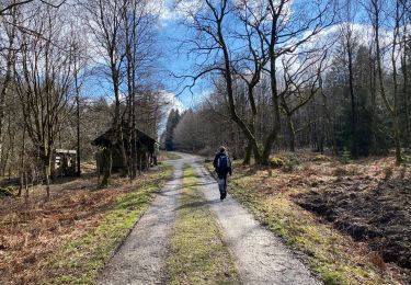
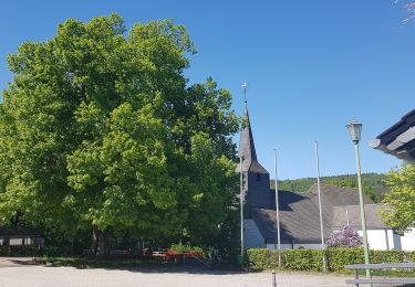
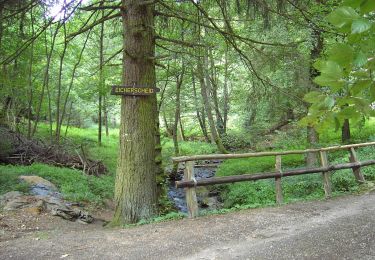
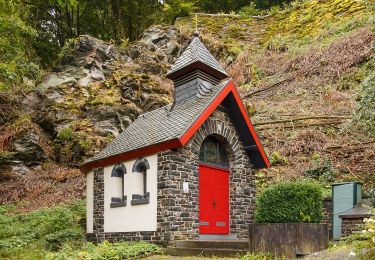
Ruta Senderismo de 5,7 km a descubrir en Renania del Norte-Westfalia, Städteregion Aachen, Monschau. Esta ruta ha sido propuesta por Boubby.
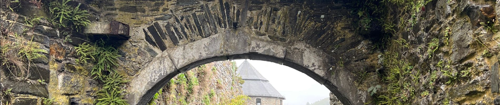
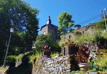
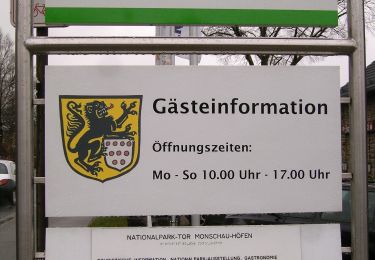
Tour complet de Monschau alliant nature et histoire


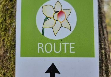
35 fotos en total. Haga clic en una foto para mostrarlas todas en la galería.
Senderismo
Senderismo
Senderismo
Senderismo
Senderismo
A pie
A pie
A pie
A pie