


7,7 km | 13,8 km-effort

Usuario


Aplicación GPS de excursión GRATIS
 SityTrail
IGN / Institutos geográficos
SityTrail World
El mundo es suyo
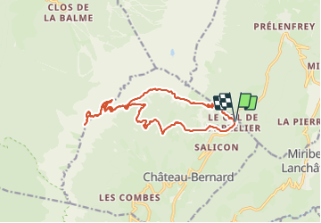
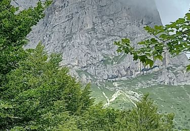
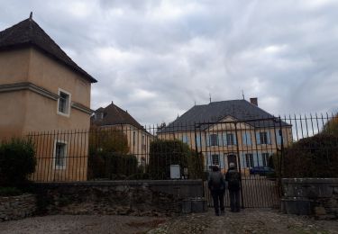
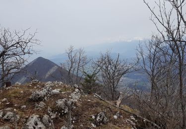
Ruta Senderismo de 19,2 km a descubrir en Auvergne-Rhône-Alpes, Isère, Château-Bernard. Esta ruta ha sido propuesta por paulin bruno.
très belle journée


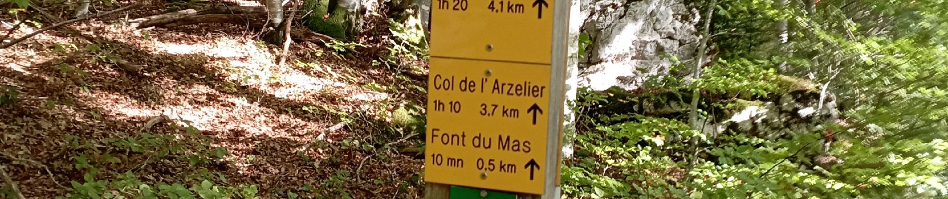
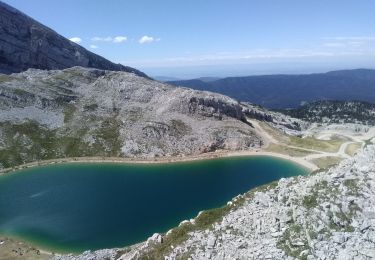
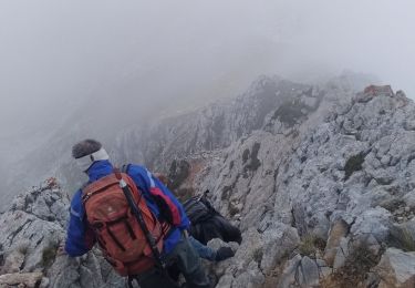
40 fotos en total. Haga clic en una foto para mostrarlas todas en la galería.

Senderismo

Senderismo

Senderismo

Senderismo
Senderismo
Senderismo
Senderismo
Senderismo
Senderismo