


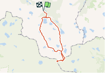


18,4 km | 32 km-effort


Usuario


Aplicación GPS de excursión GRATIS
 SityTrail
IGN / Institutos geográficos
SityTrail World
El mundo es suyo
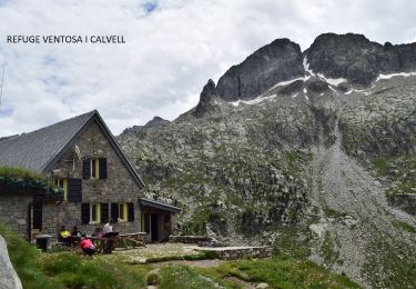
Ruta Senderismo de 17,3 km a descubrir en Cataluña, Lérida, Alto Arán. Esta ruta ha sido propuesta por dawed311.
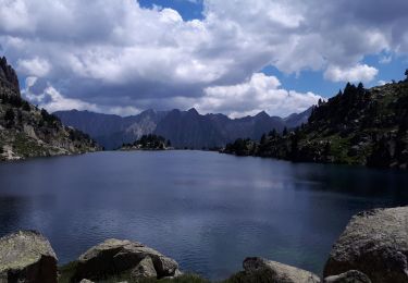
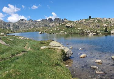
Magnifique randonnée dans le cirque de Colomers et ces innombrables lacs.
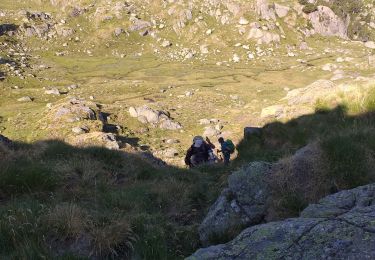
Boucle des lacs plutôt facile, l'ascension au sommet se fait par des brèches raides mais sans danger, et par un long cheminement dans des chaos qui demandent de l'attention pour les chevilles.
Montée par une brèche, descente par une autre, aucune préférence, les 2 sont similaires.
Attention à la bifurcation marquée sur le tracé, il ne faut plus suivre le balisage rouge mais suivre des cairns qui partent vers le sud. A partir de là le sentier n'est plus balisé, suivre les cairns demande un peu de flair, ils ne sont pas très nombreux.

Senderismo
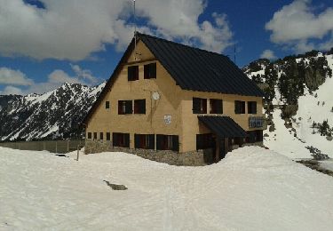
Raquetas de nieve
Senderismo
Senderismo
Senderismo
Senderismo
Senderismo
Senderismo
Senderismo