


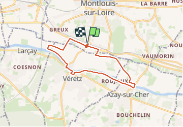

14,9 km | 16,1 km-effort


Usuario GUIDE


Aplicación GPS de excursión GRATIS
 SityTrail
IGN / Institutos geográficos
SityTrail World
El mundo es suyo
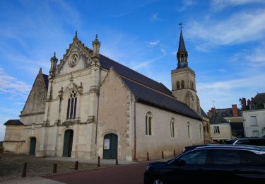
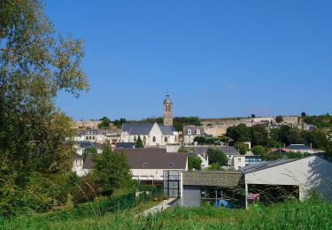
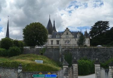
Ruta Senderismo de 13 km a descubrir en Centro, Indre y Loira, Montlouis-sur-Loire. Esta ruta ha sido propuesta por Orcal37.
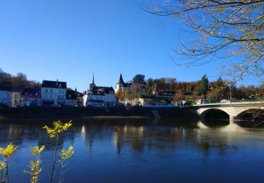
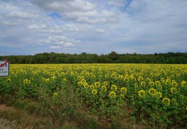
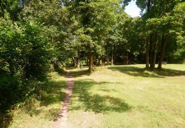
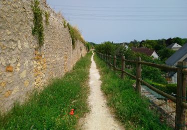
Montlouis-sur-Loire - départ de la gare - la plaine - GR41 - le Cher - Veretz - Azay-sur-Cher - 13km 85m 2h45 - 2023 10 07


Senderismo
Senderismo
Senderismo
Senderismo

Cicloturismo
Senderismo
Senderismo

Senderismo
Senderismo