


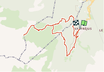

19,4 km | 33 km-effort

Usuario


Aplicación GPS de excursión GRATIS
 SityTrail
IGN / Institutos geográficos
SityTrail World
El mundo es suyo
Ruta Senderismo de 13,1 km a descubrir en Auvergne-Rhône-Alpes, Saboya, Modane. Esta ruta ha sido propuesta por erjot60.
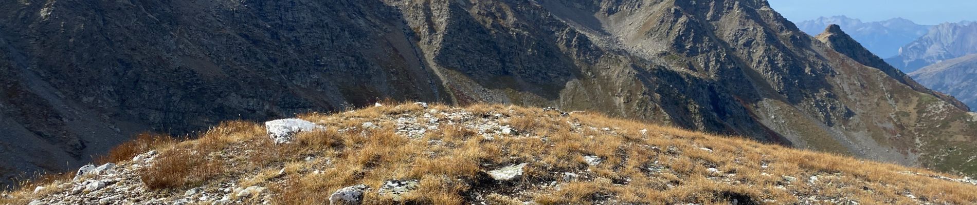
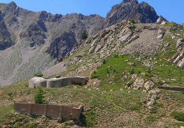
Une chouette rando sur les hauteurs de Valfréjus.
Plutôt que de prendre la route pour aller aux Herbiers, il est possible de passer par le torrent du Charmaix.
On peut s'arrêter à Arplane 2150m ou au Truc 2463m


Senderismo

Esquí de fondo

Esquí de fondo

Esquí de fondo

Esquí de fondo

Raquetas de nieve

Senderismo

Senderismo
Senderismo