


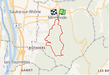

12,3 km | 17,8 km-effort

Usuario GUIDE


Aplicación GPS de excursión GRATIS
 SityTrail
IGN / Institutos geográficos
SityTrail World
El mundo es suyo
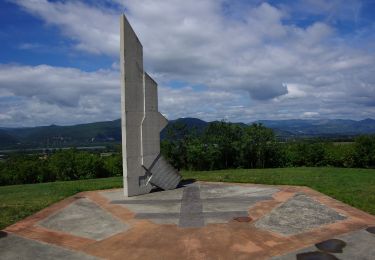
Ruta Senderismo de 11,3 km a descubrir en Auvergne-Rhône-Alpes, Drôme, Mirmande. Esta ruta ha sido propuesta por chancha.
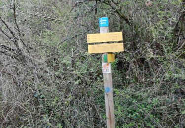
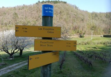
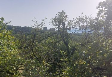
De Mirmande, classé parmi « Les Plus Beaux Villages de France® », parcourez les crêtes pour jouir du panorama sur la vallée du Rhône. En revenant, perdez-vous dans le labyrinthe des ruelles du village.
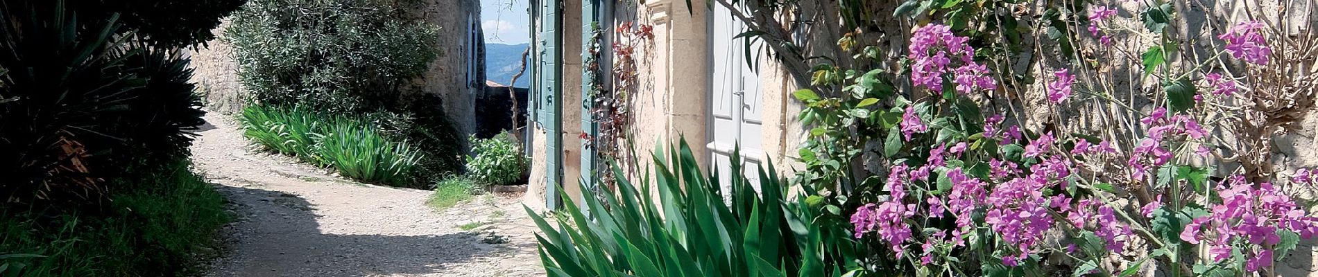
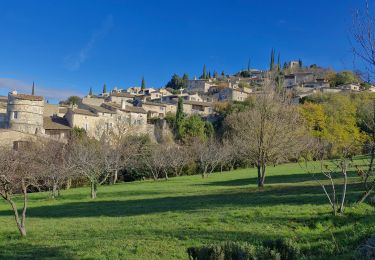
 - Photo 1")
 - Photo 2")
 - Photo 3")
Senderismo

Motor

Senderismo
Senderismo
Senderismo
Senderismo
Senderismo

Bici de montaña
Senderismo